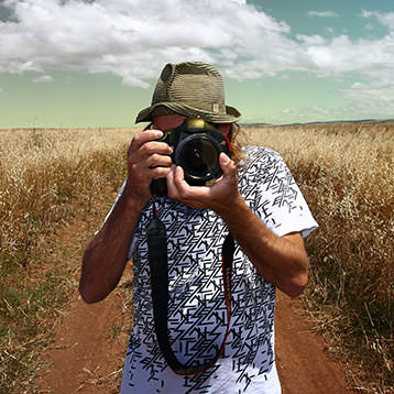
Sonny Vandevelde
Fashion should be fun and with my photography I love to create those fun moments.
Travel
Sydney > Melbourne QF421
Only in Sydney for a few days and it is off again, off to Melbourne for a shooting
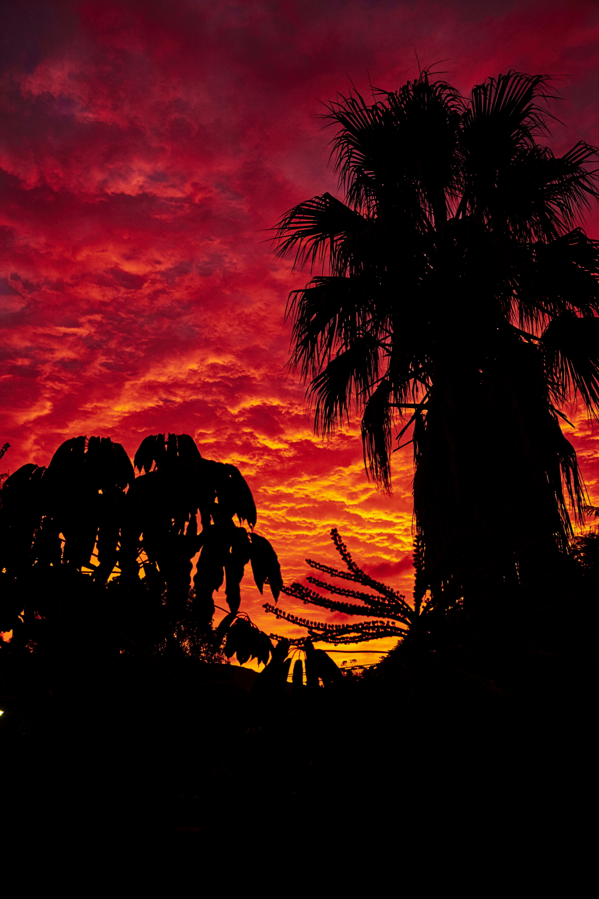
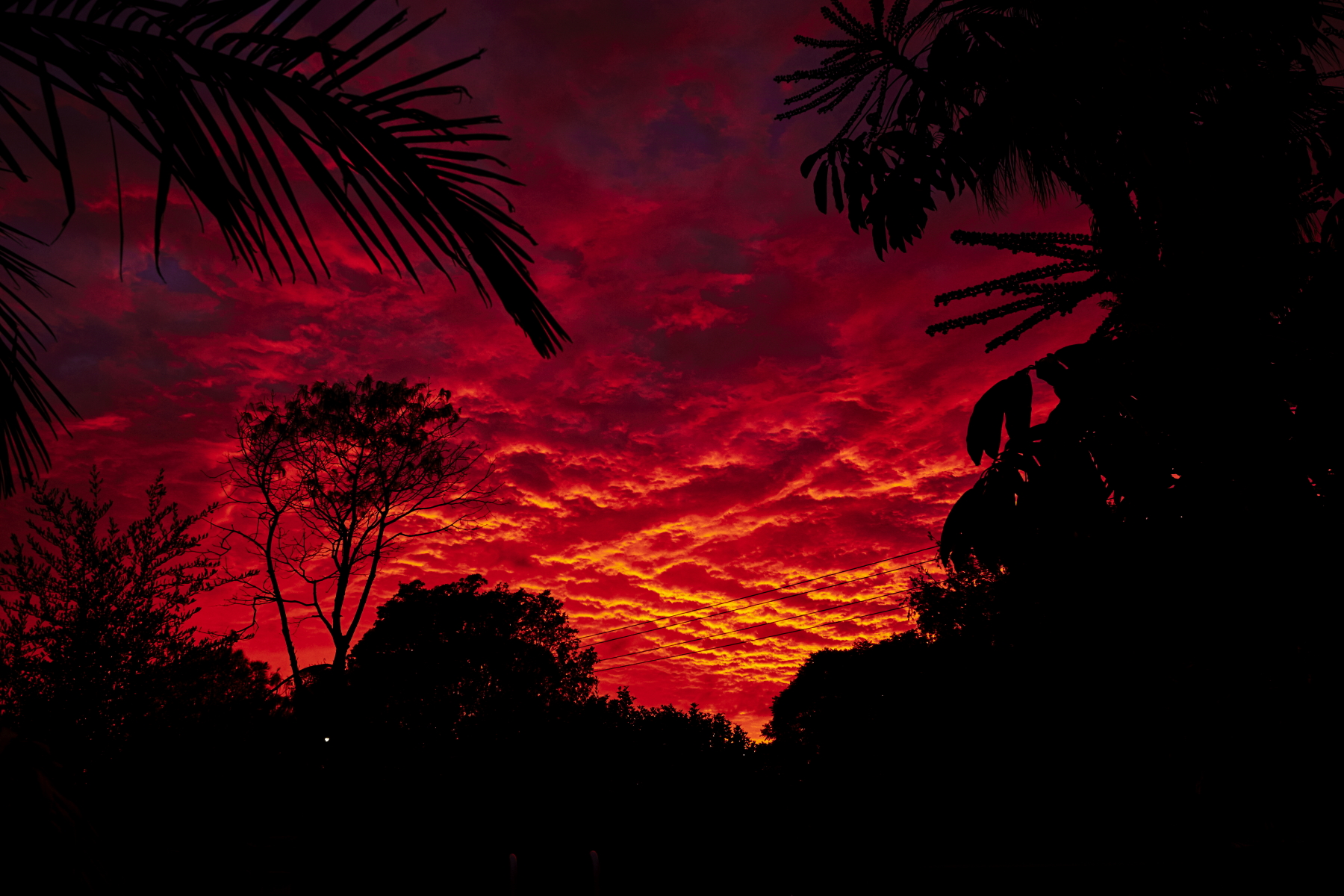 ridiculous sunrise this morning one of the best I've seen in a while
 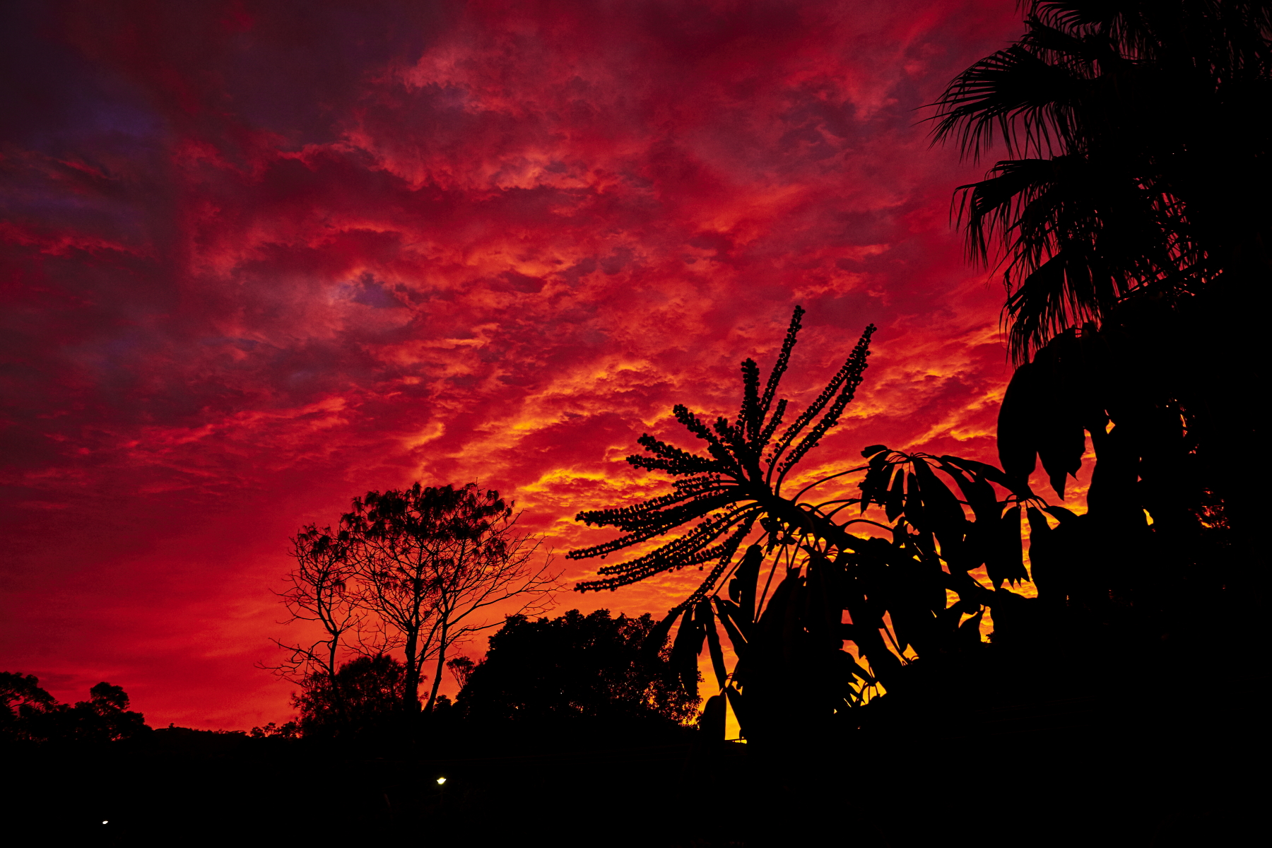 glad I was up
 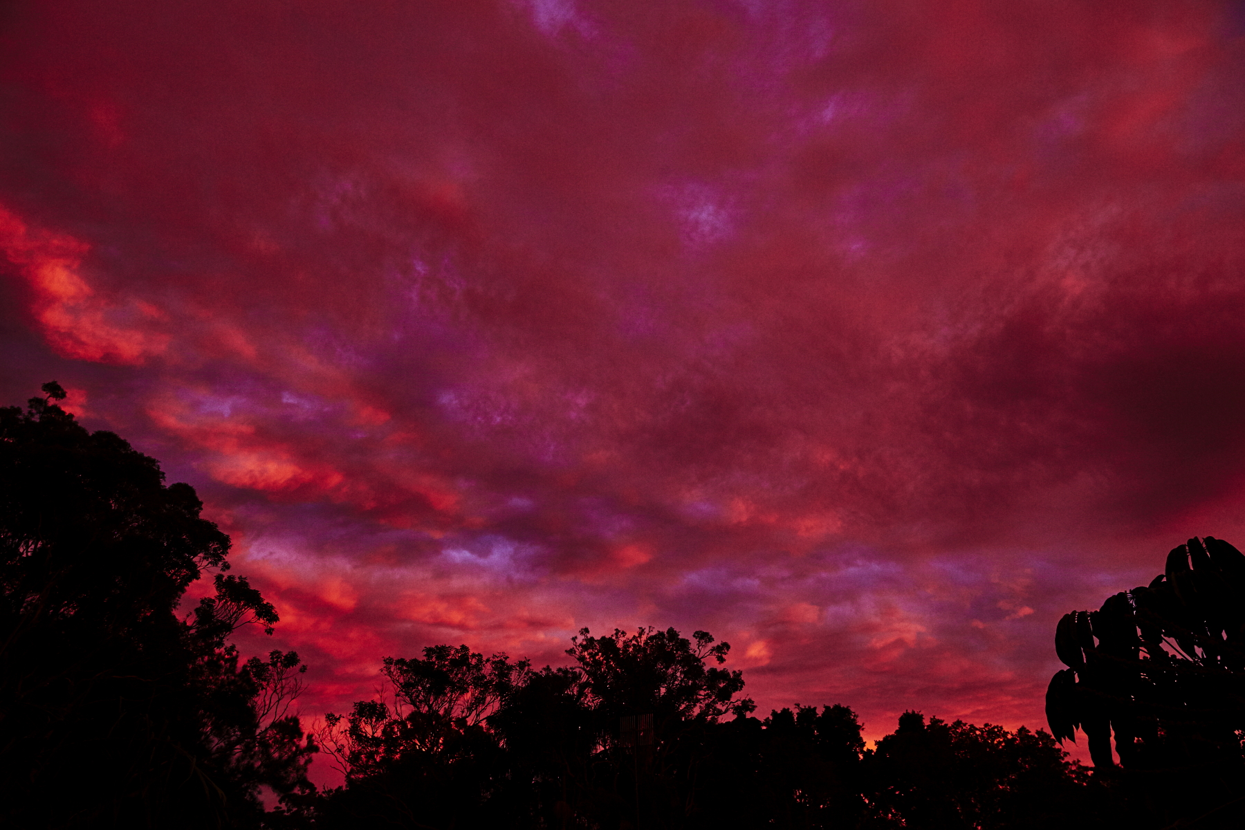 colours
 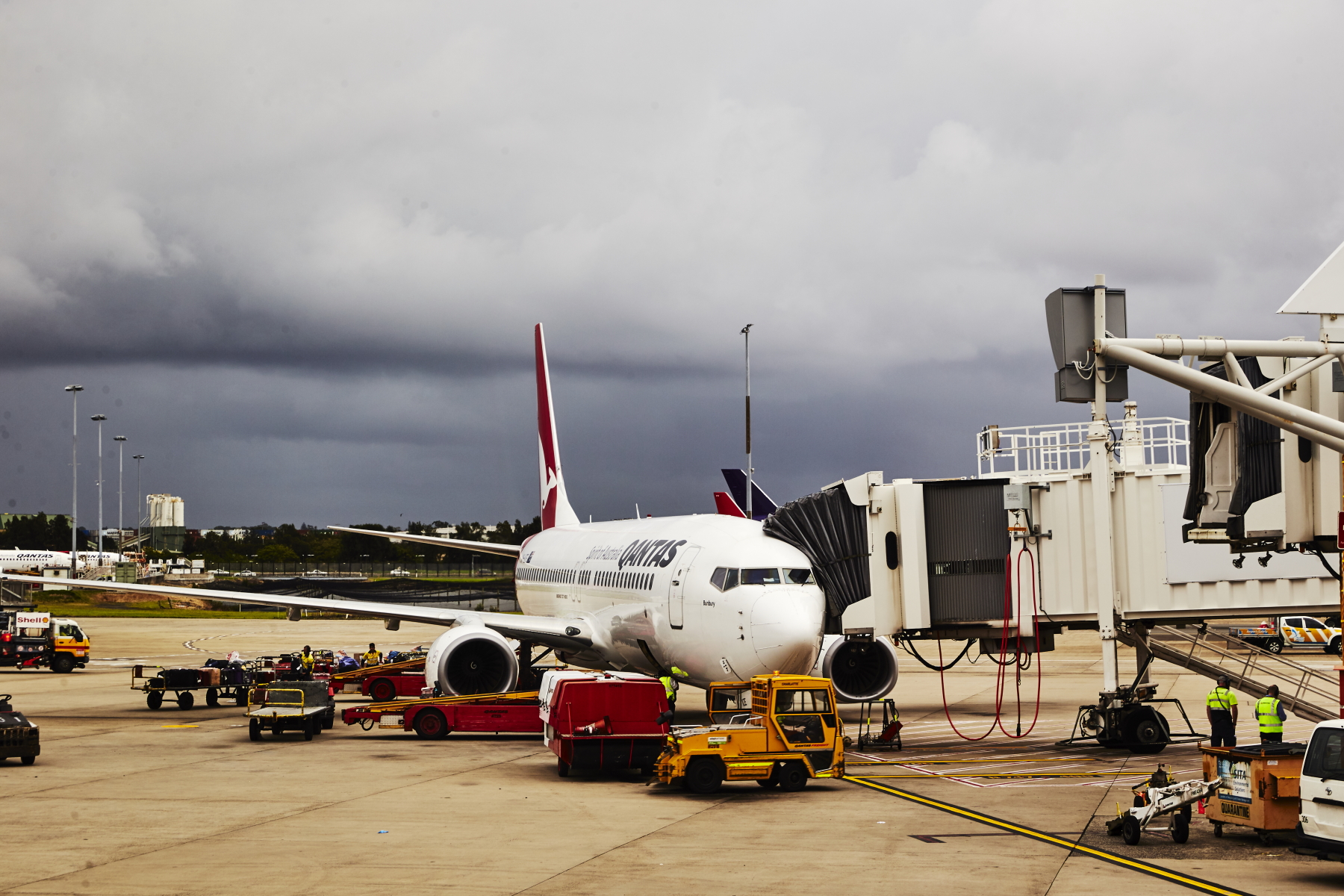 a few hours later, back at the airport
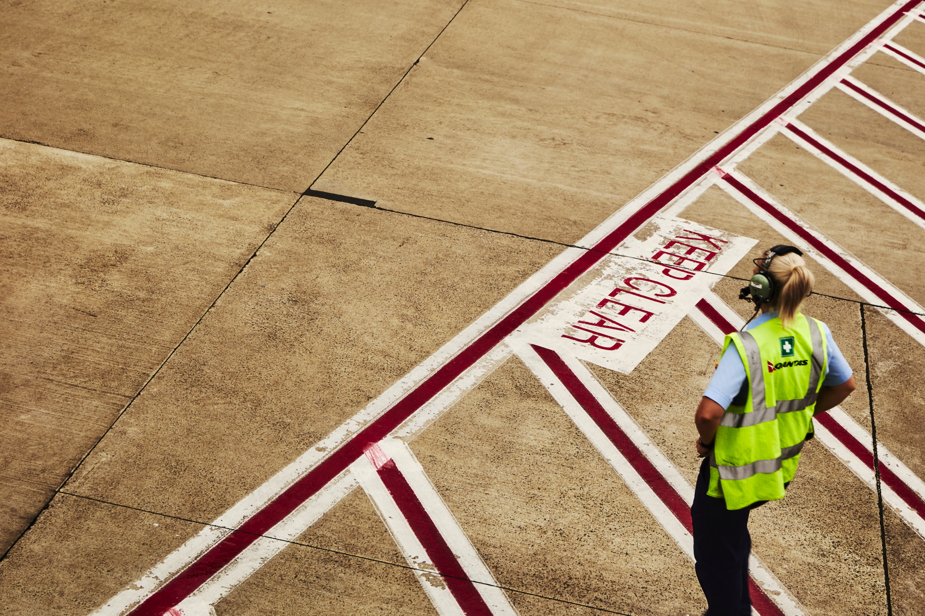 major tom to ground control
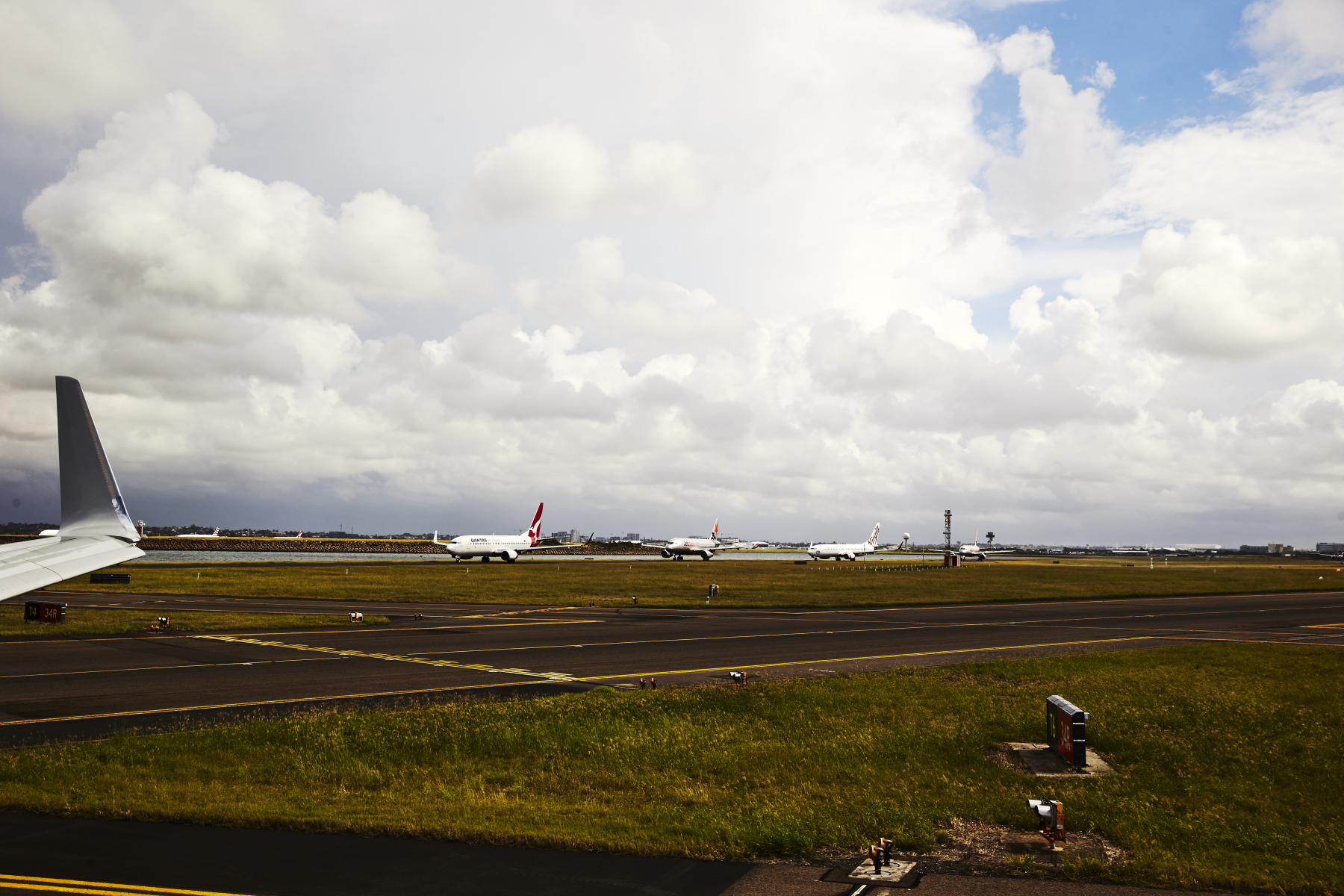 big queue this morning, lots of bad weather on the east coast
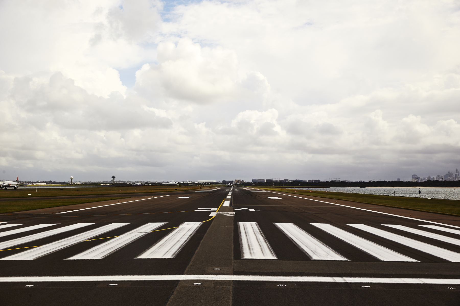 and we're off
 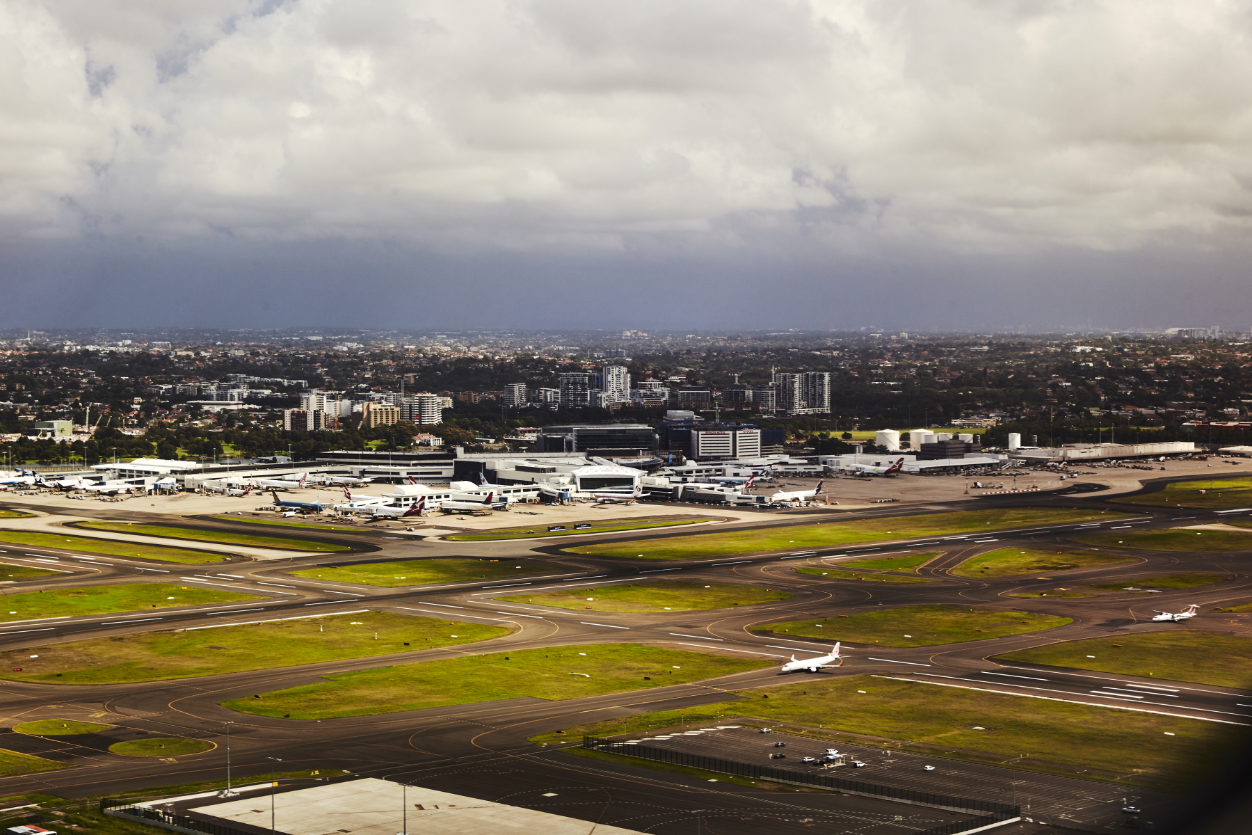 Sydney Airport
 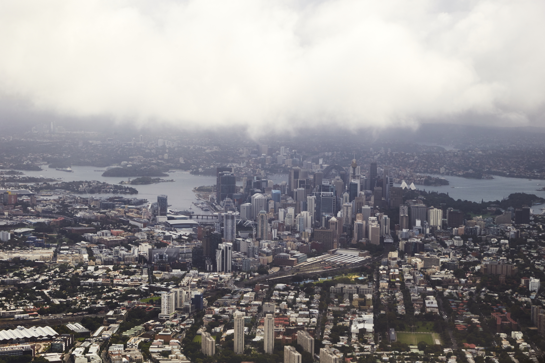 oh cool, turning left , doing a full circle, awesome view of Sydney CBD
 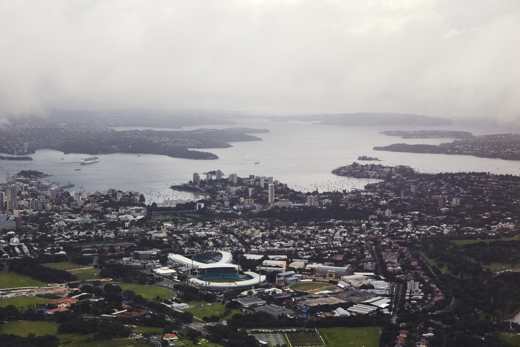 then looking straight up the harbour across the football stadium and cricket ground
 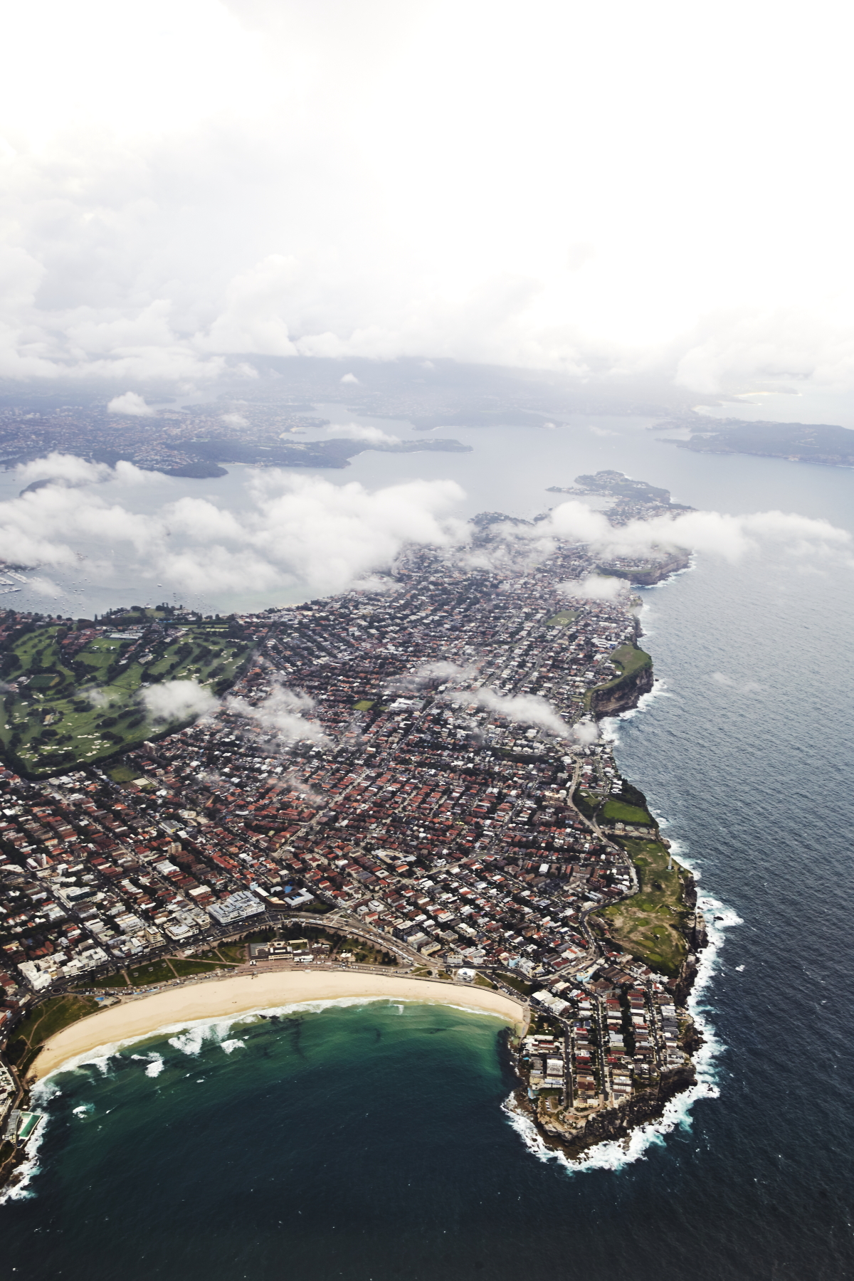 Bondi beach
 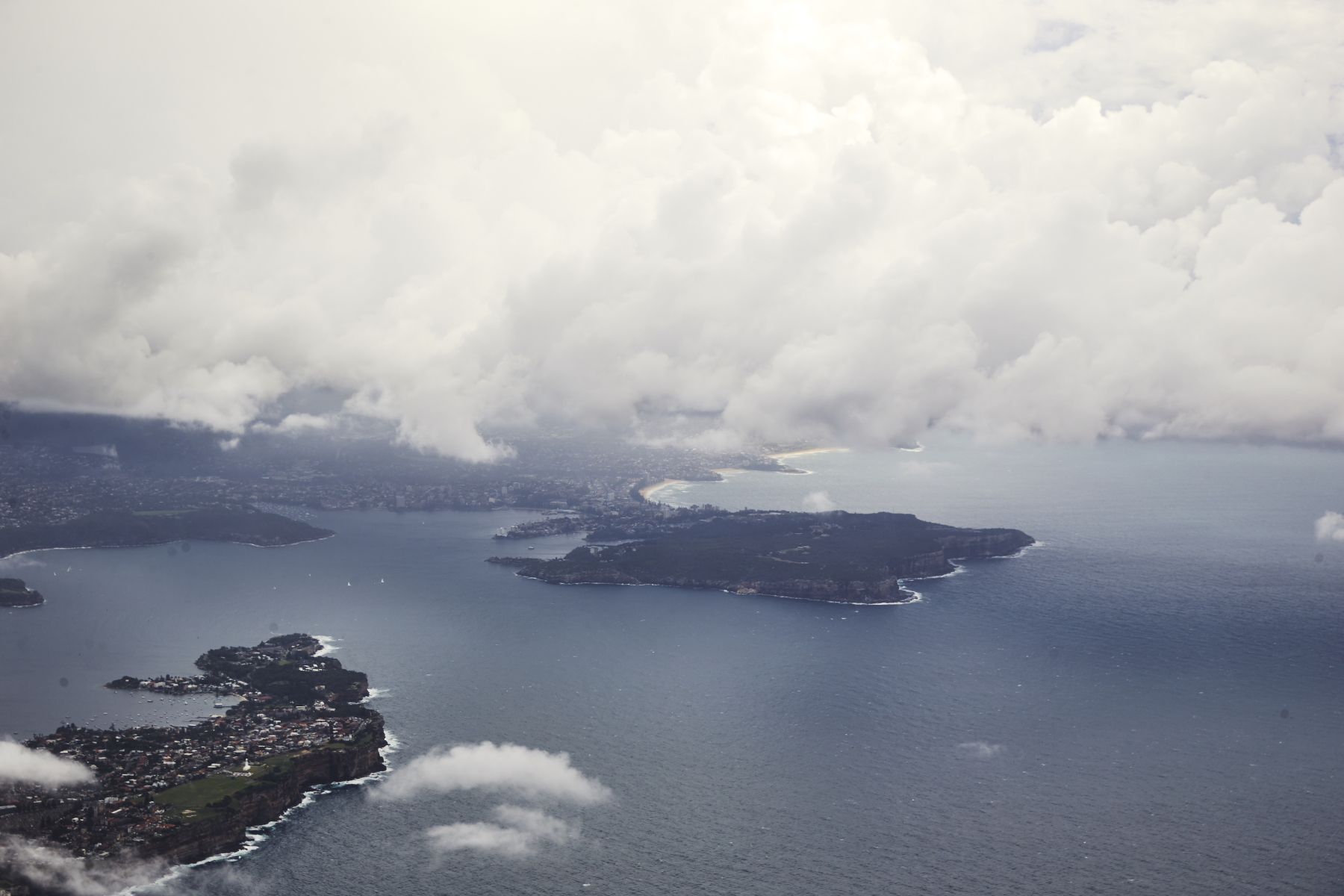 entrance to Sydney Harbour
 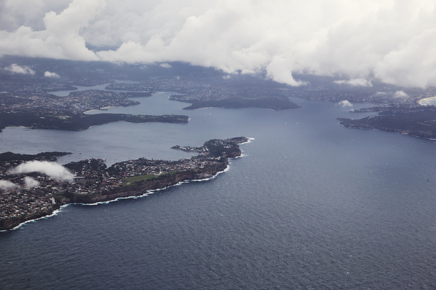 looking up middle Harbour, I can just see my old place at Clifton Gardens
 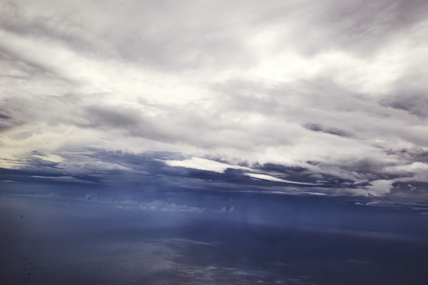 like a big u-turn
 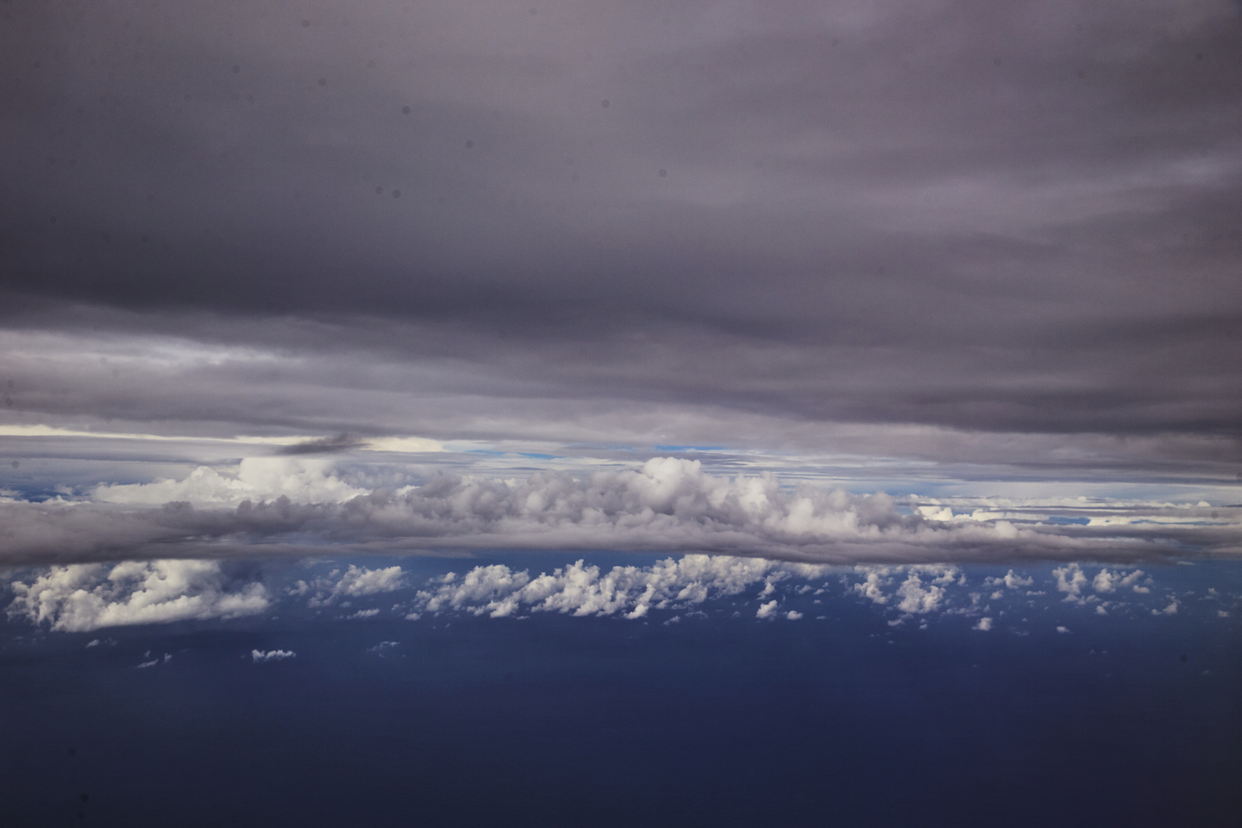 lots of layers
 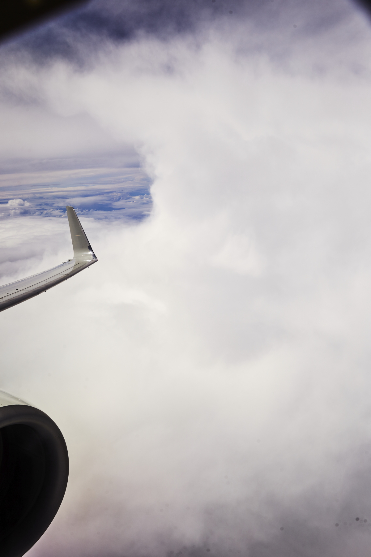 heading to Melbourne now and climbing over all the storm activity
 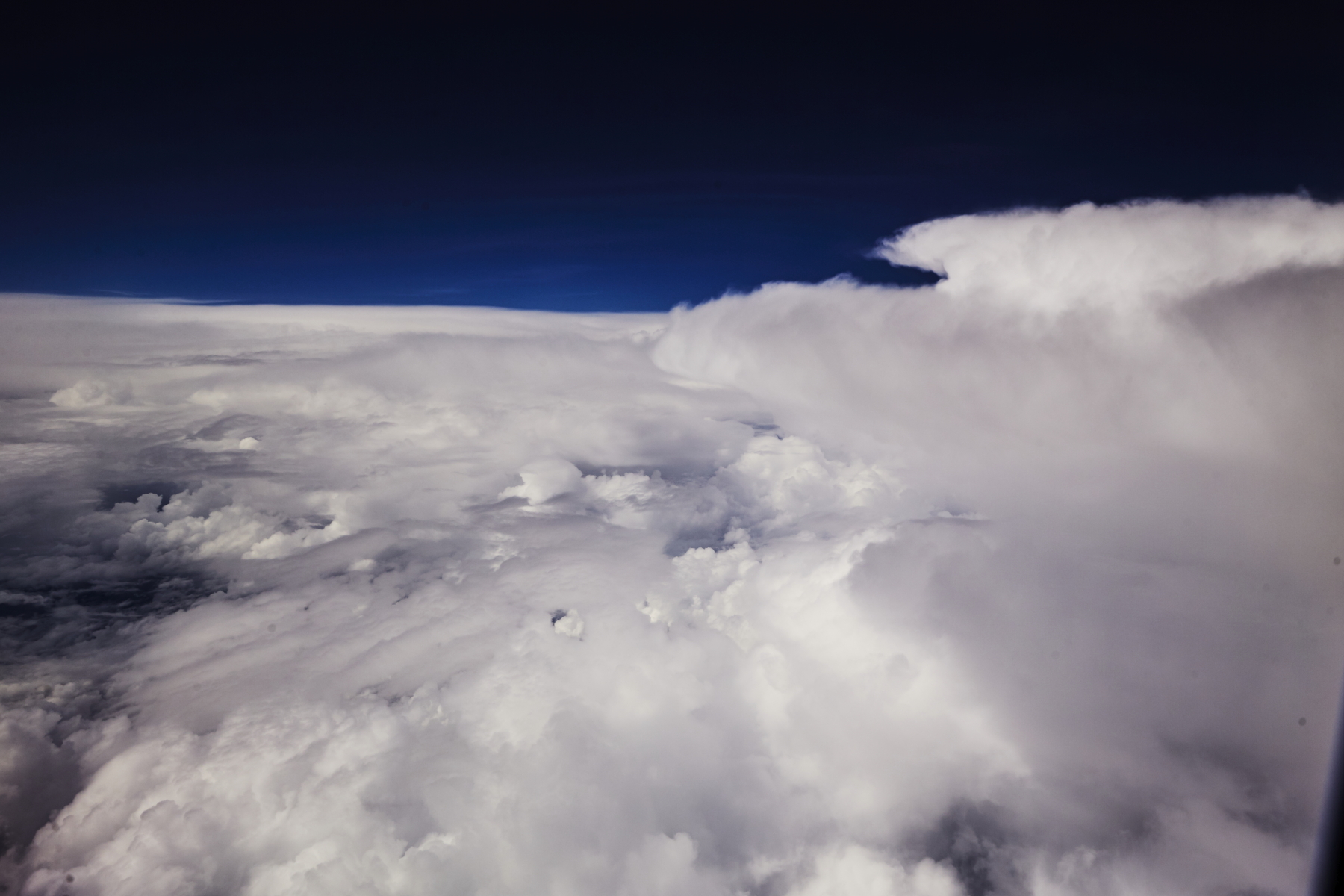 so big band of cloud covering Sydney, Canberra, Snowy mountains
 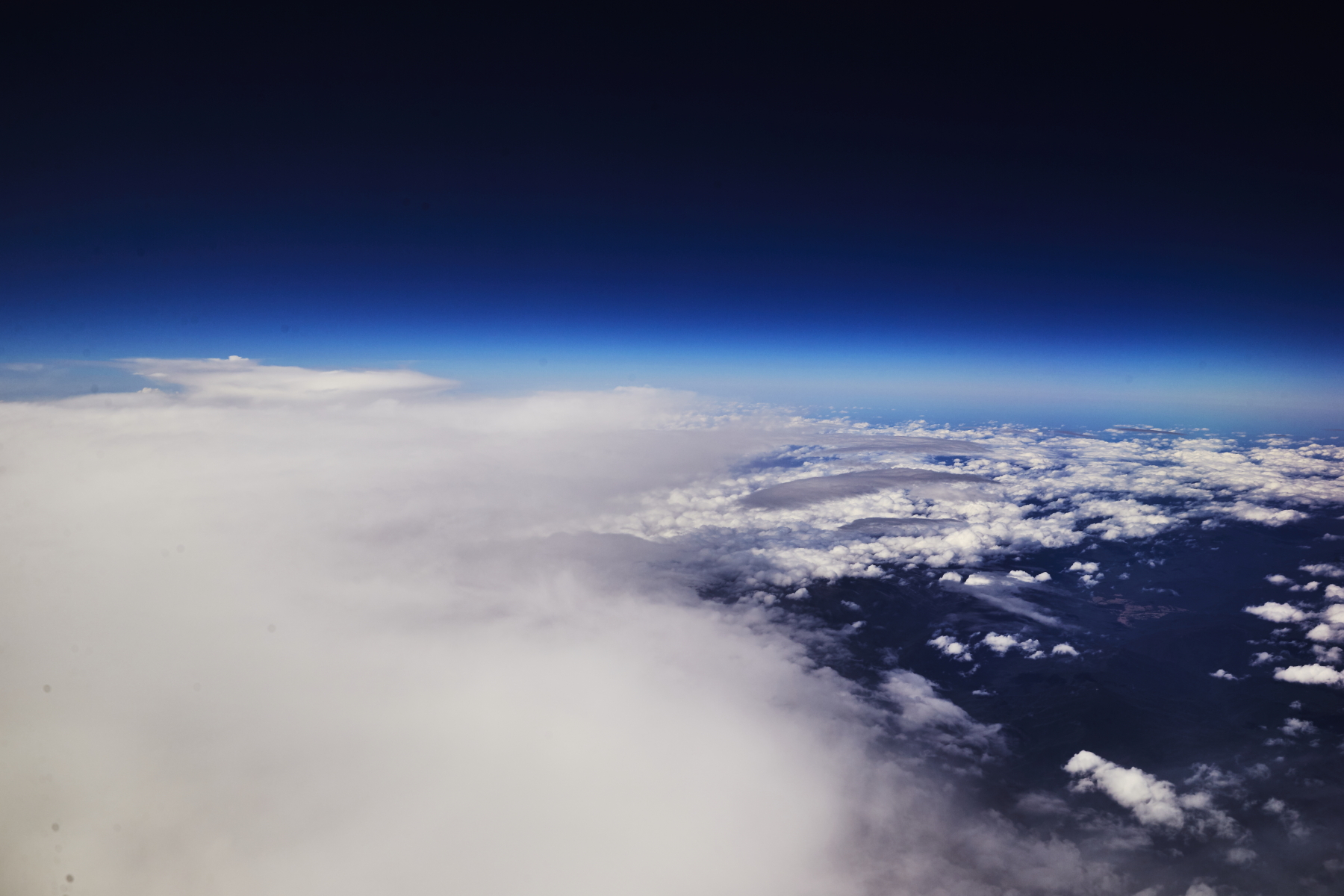 and then somewhere around NSW/VIC border, it clears up again
 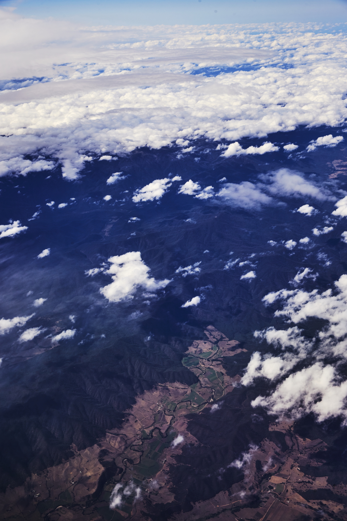 nope, that's still NSW down there, Indi to be exact
 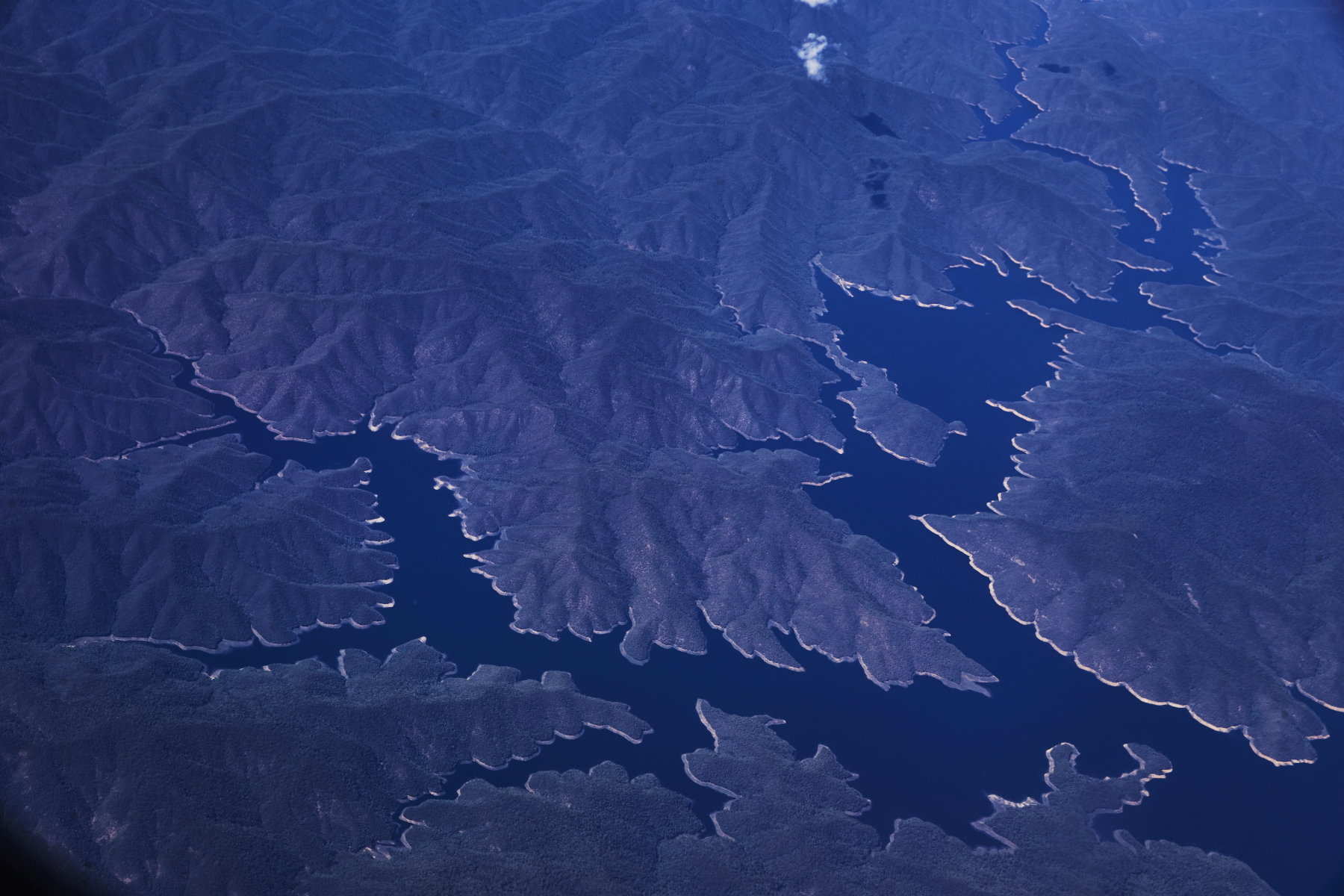 Lake Dartmouth, Victoria
 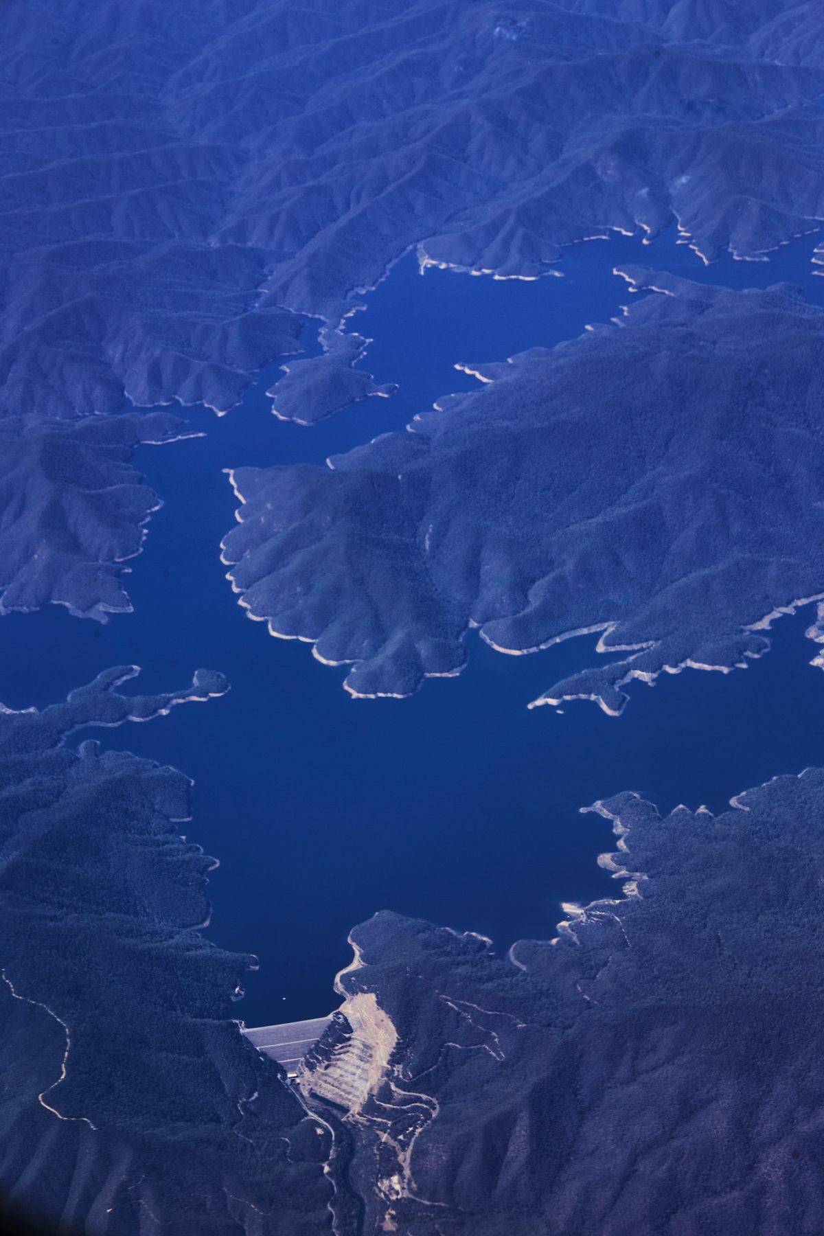 Dartmouth Dam
 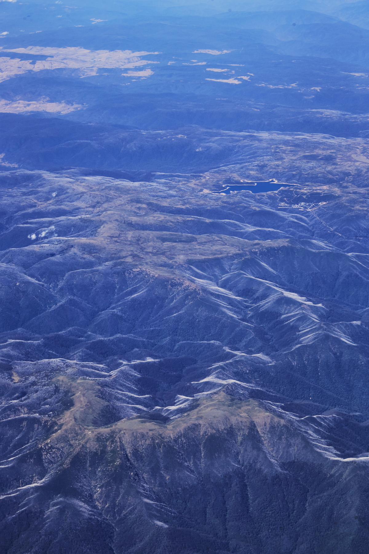 Mt. Bogong Victoria and the Rocky Valley Storage at the top� so you can just make out Falls Creek as well�
 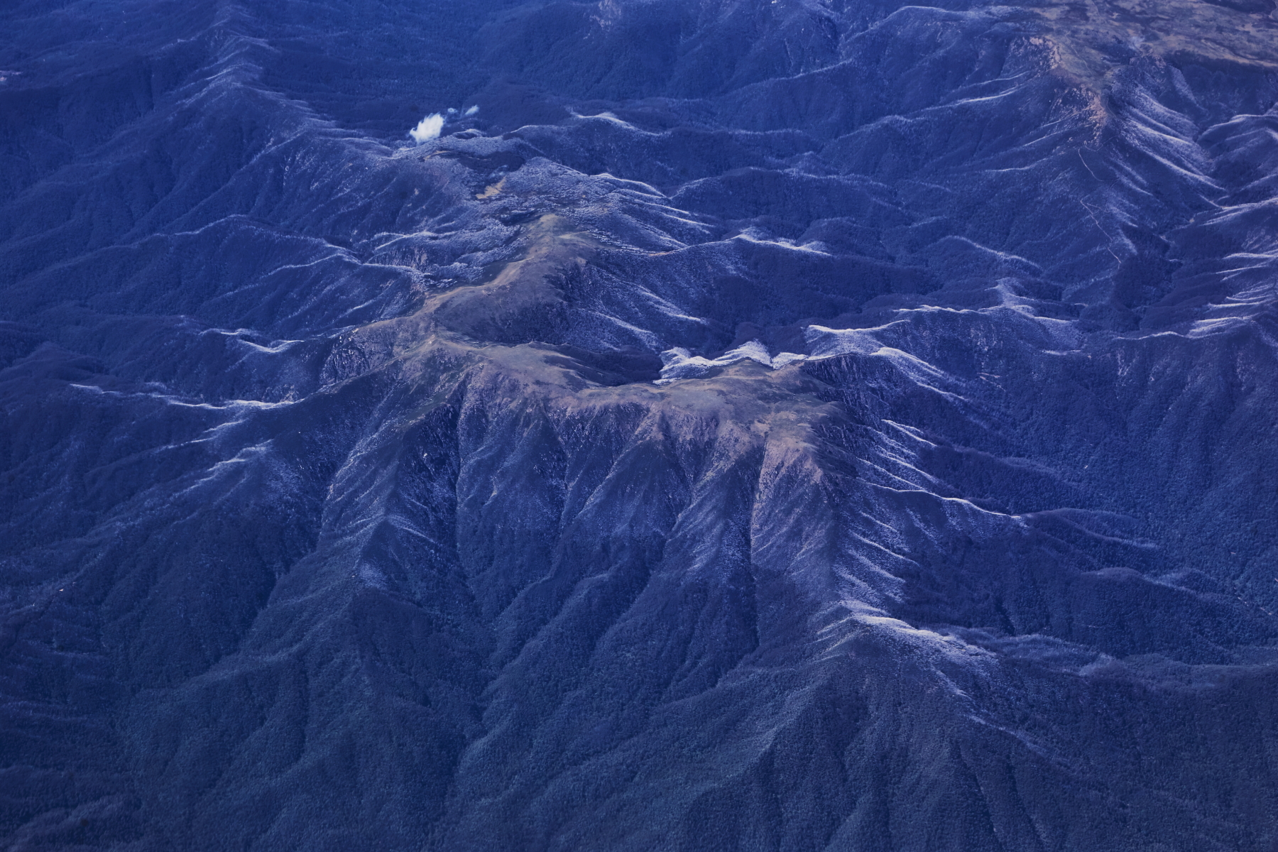 looks like morning dew/frost on the mountain slopes. It is part of Victorian snowy mountains
 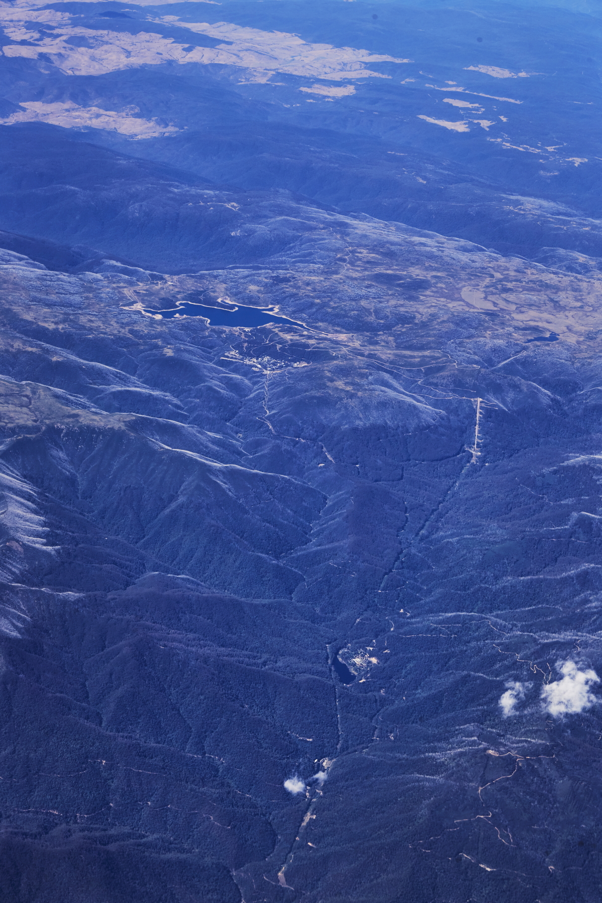 Falls creek and Rocky Valley Storage
 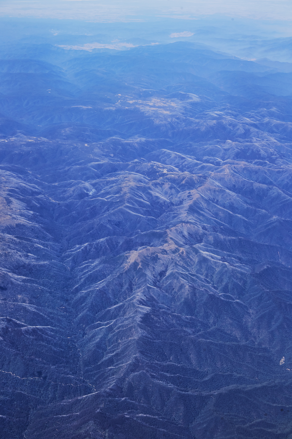 Mt. Feathertop
 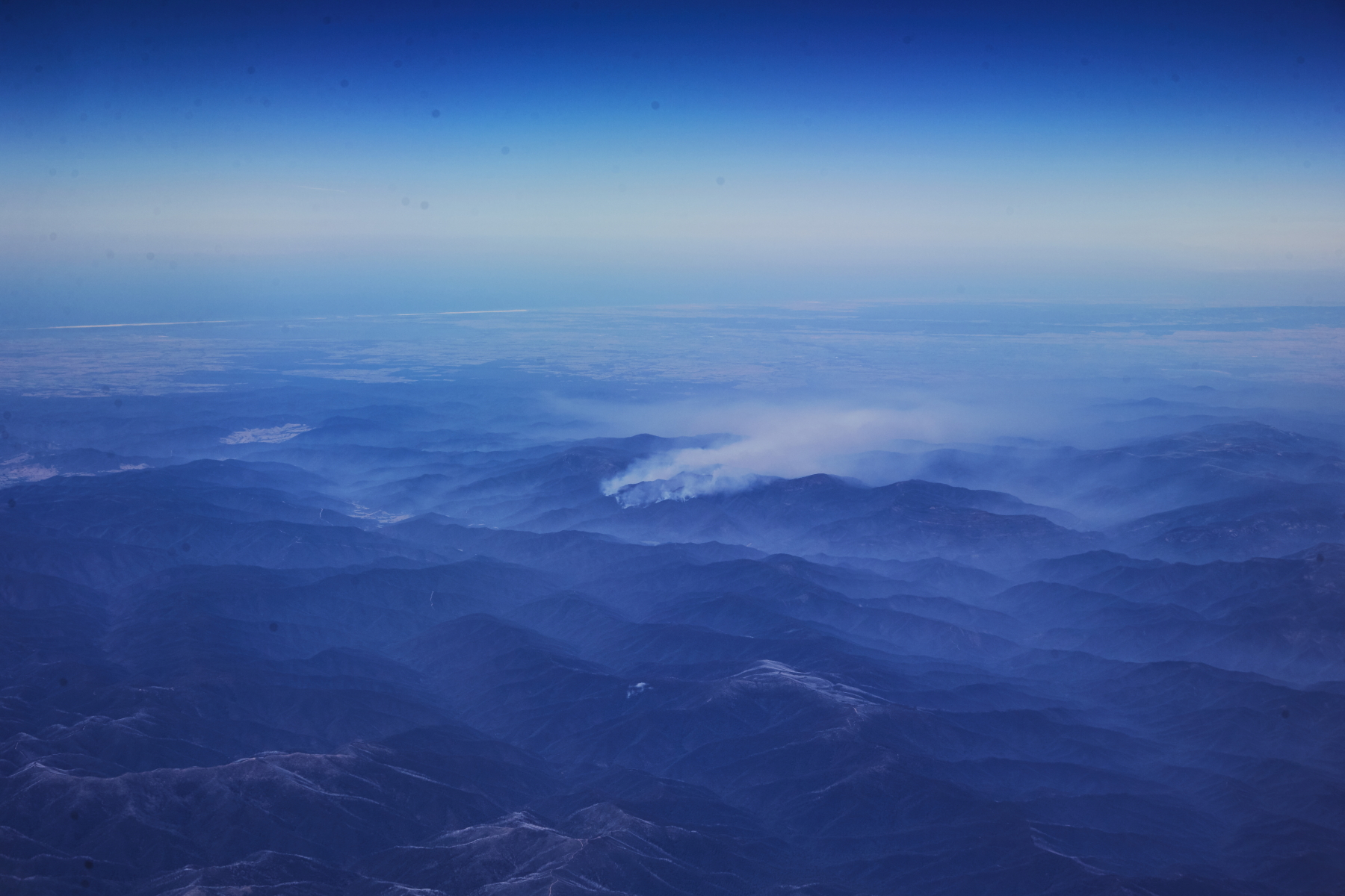 Bush fire
 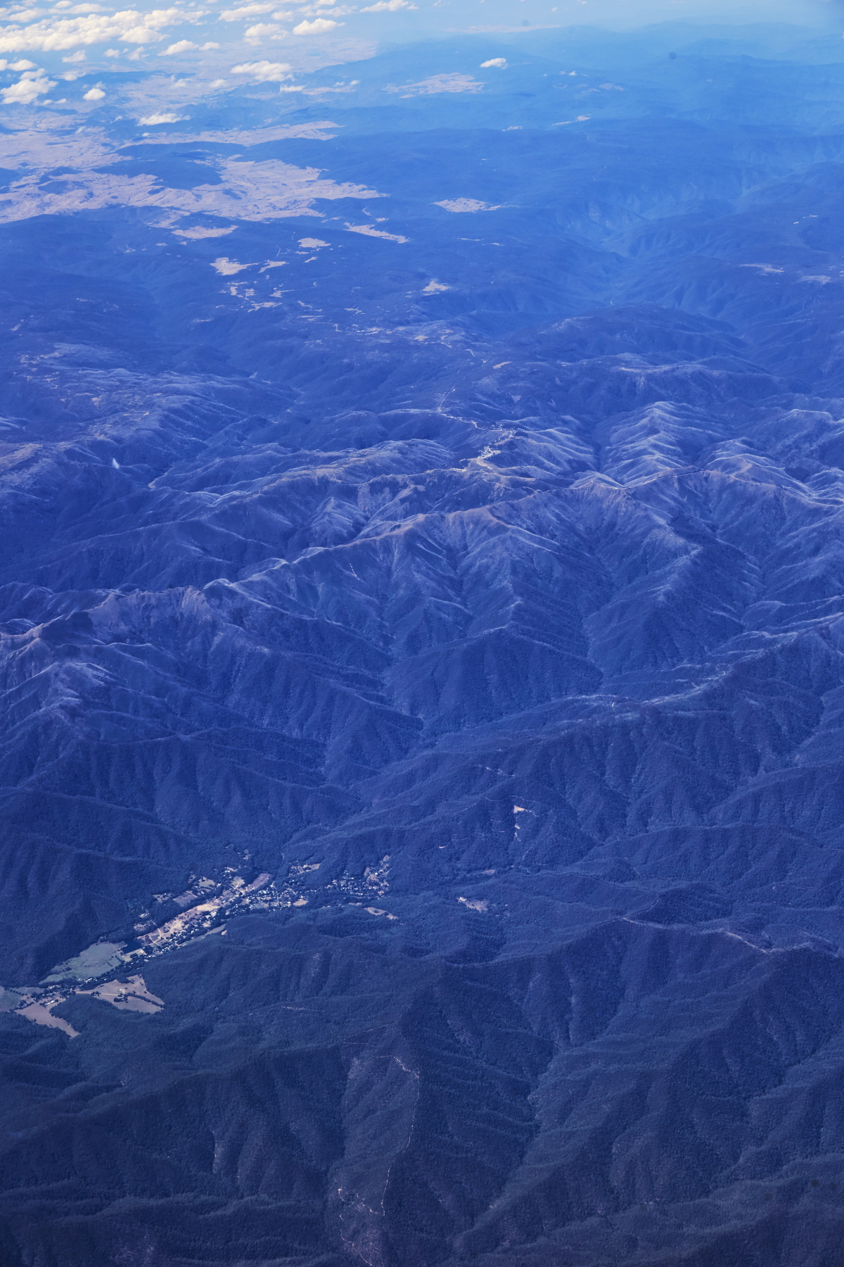 Harrietville and Mt. Hotham
 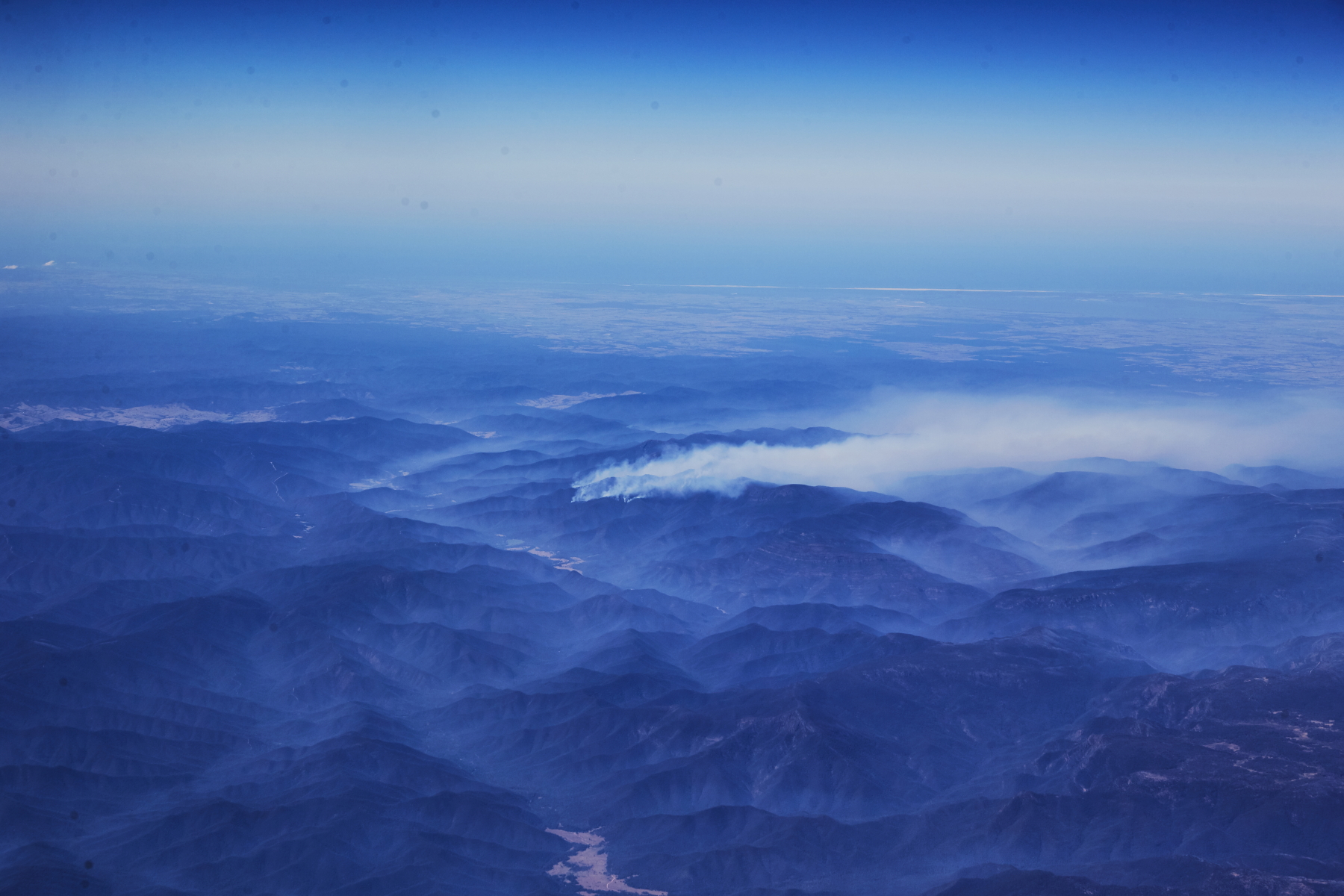 looks like bushfire is around Miowera
 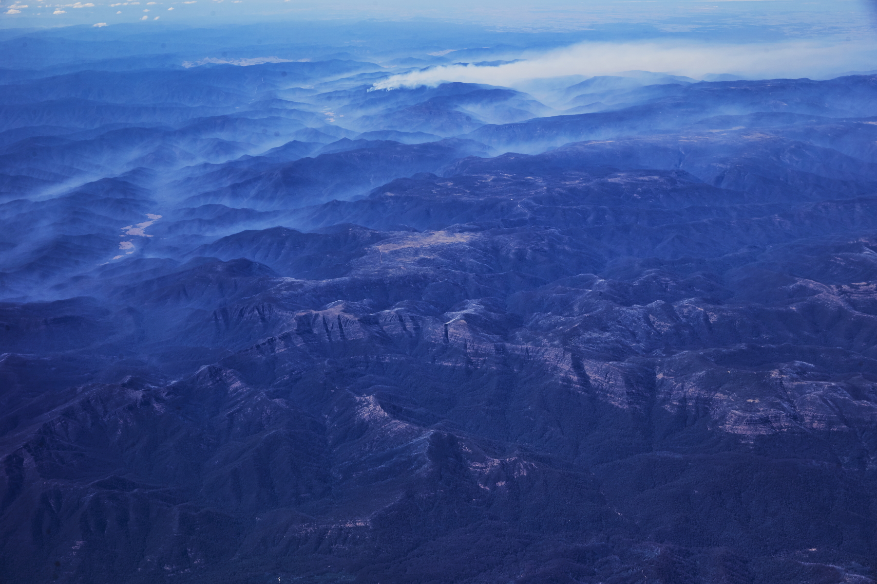 Mt. Howitt
 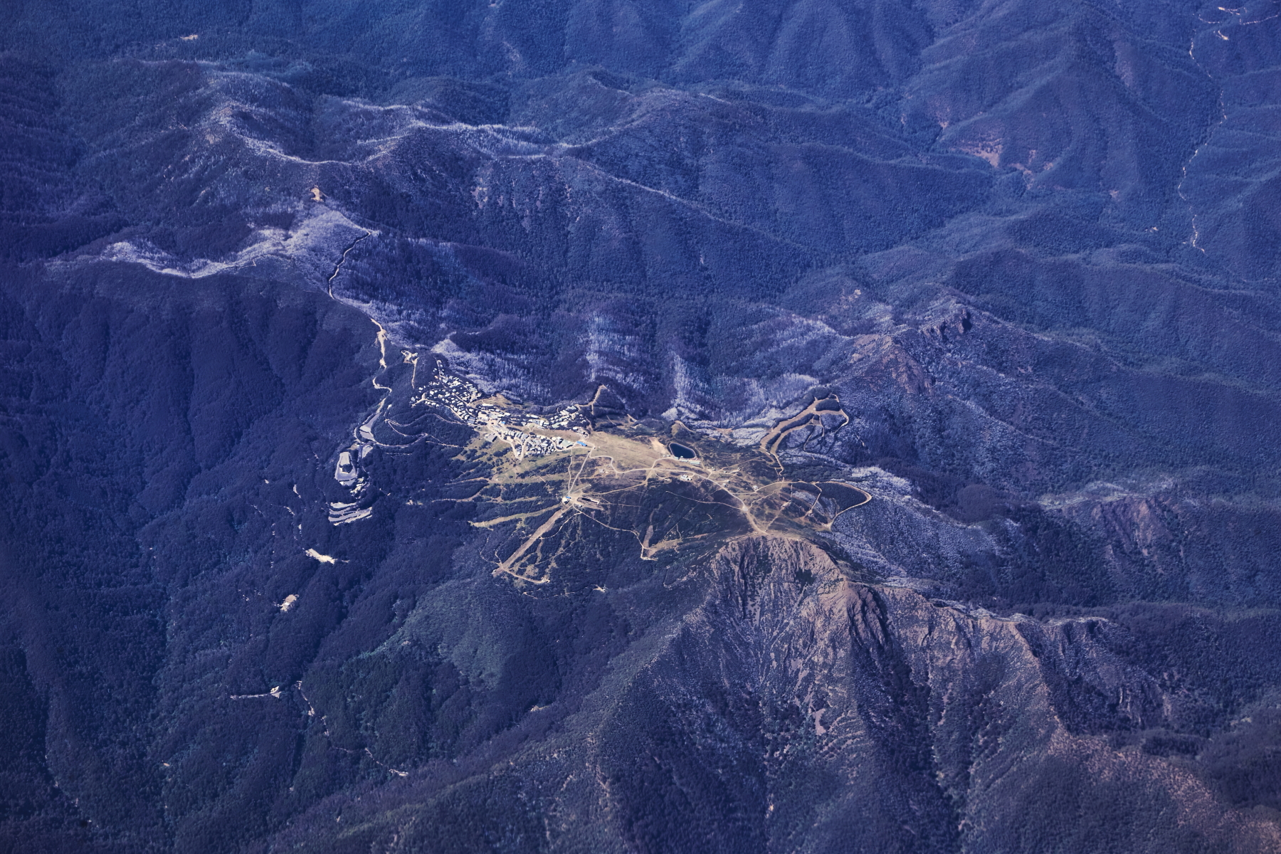 Oh woauw, I think this is Buller
 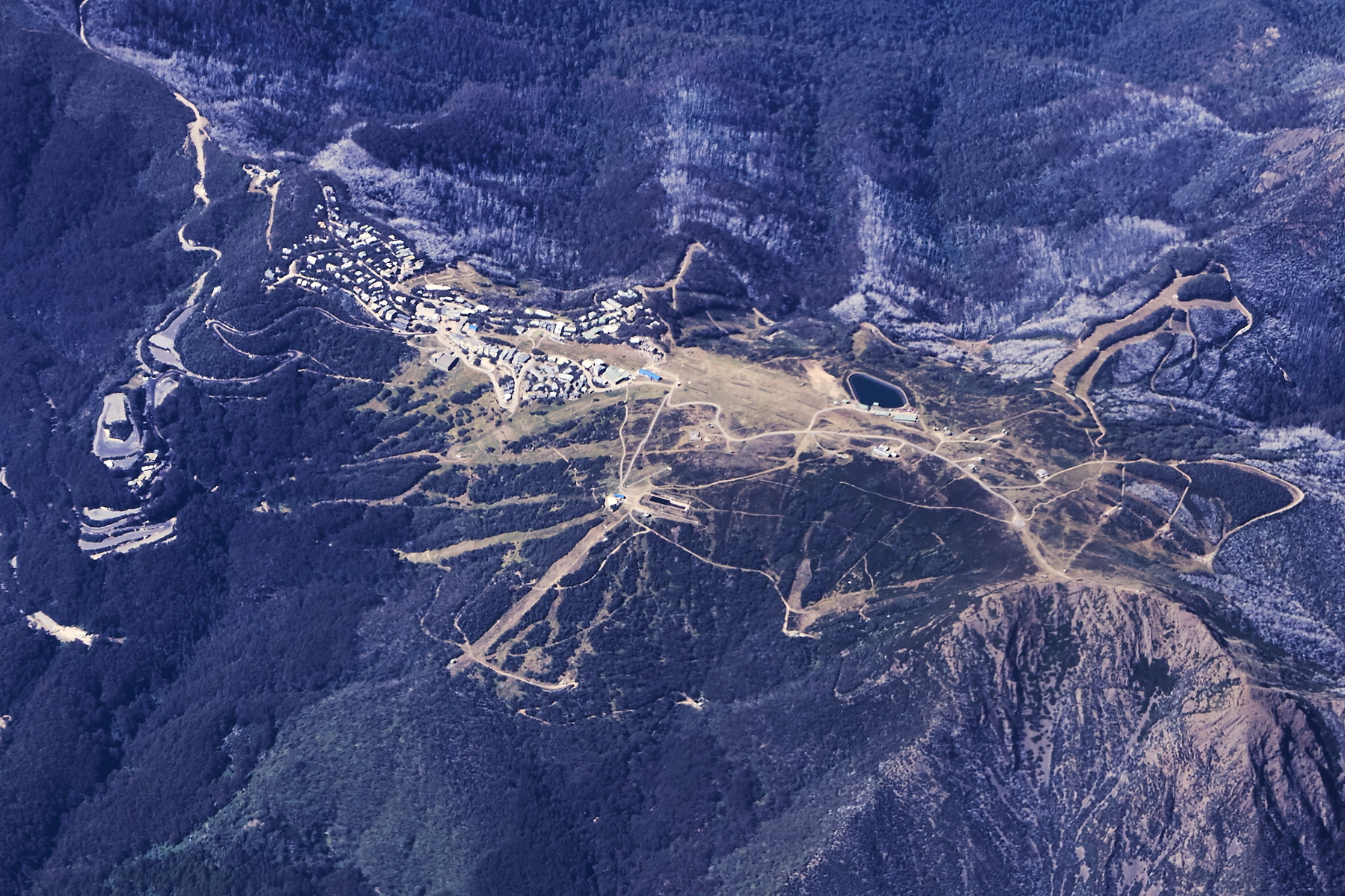 zoom in , yes, that's Mt Buller, i've skied here a few times. Here's a photo of when I flew over when it had snow, and then skied it a day or two later�
 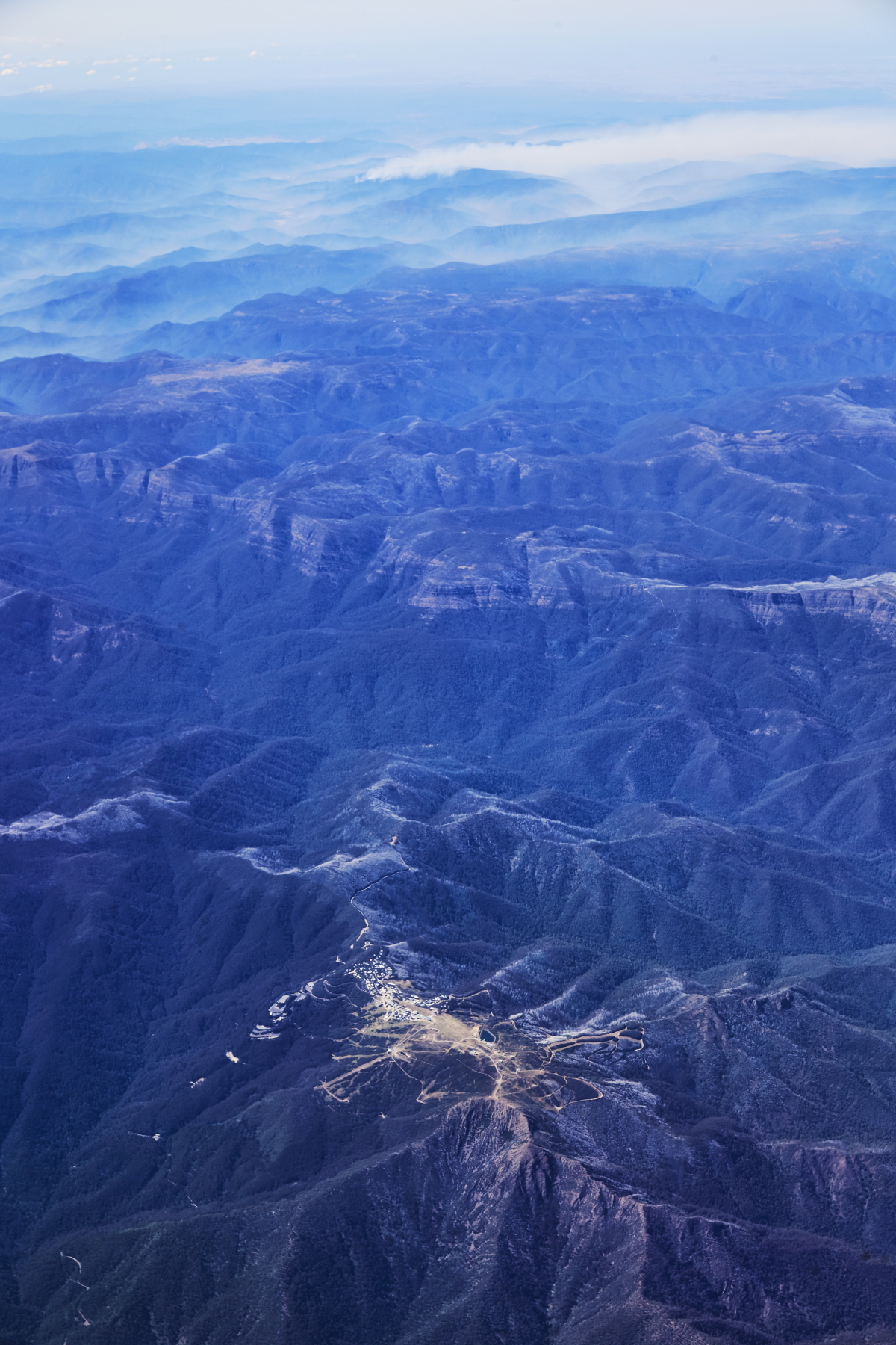 so clear today
 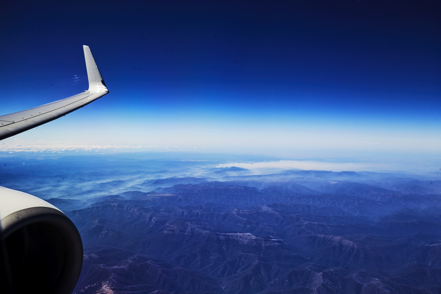 see all the smoke drifting through the valleys from the bush fire
 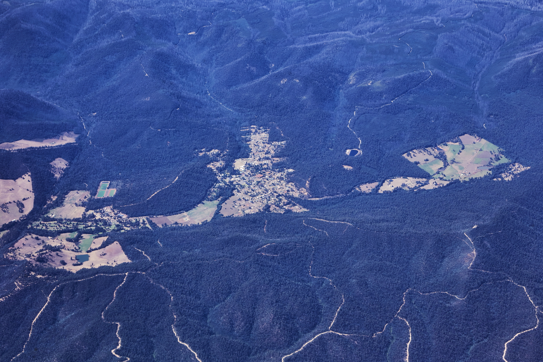 looking over Mt Gorden into Marysville
 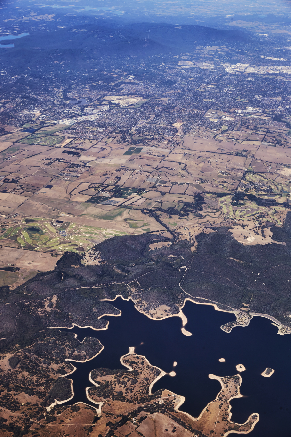 Sugarloaf Reservoir�
 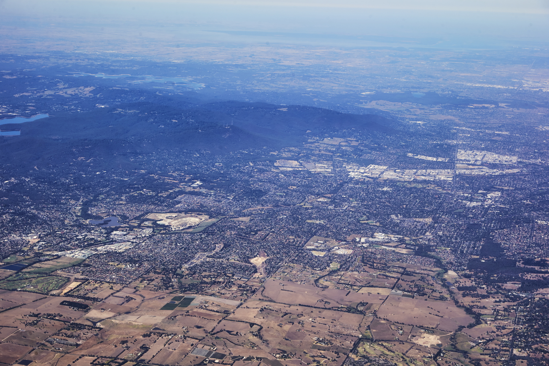 Croydon and suburbs
 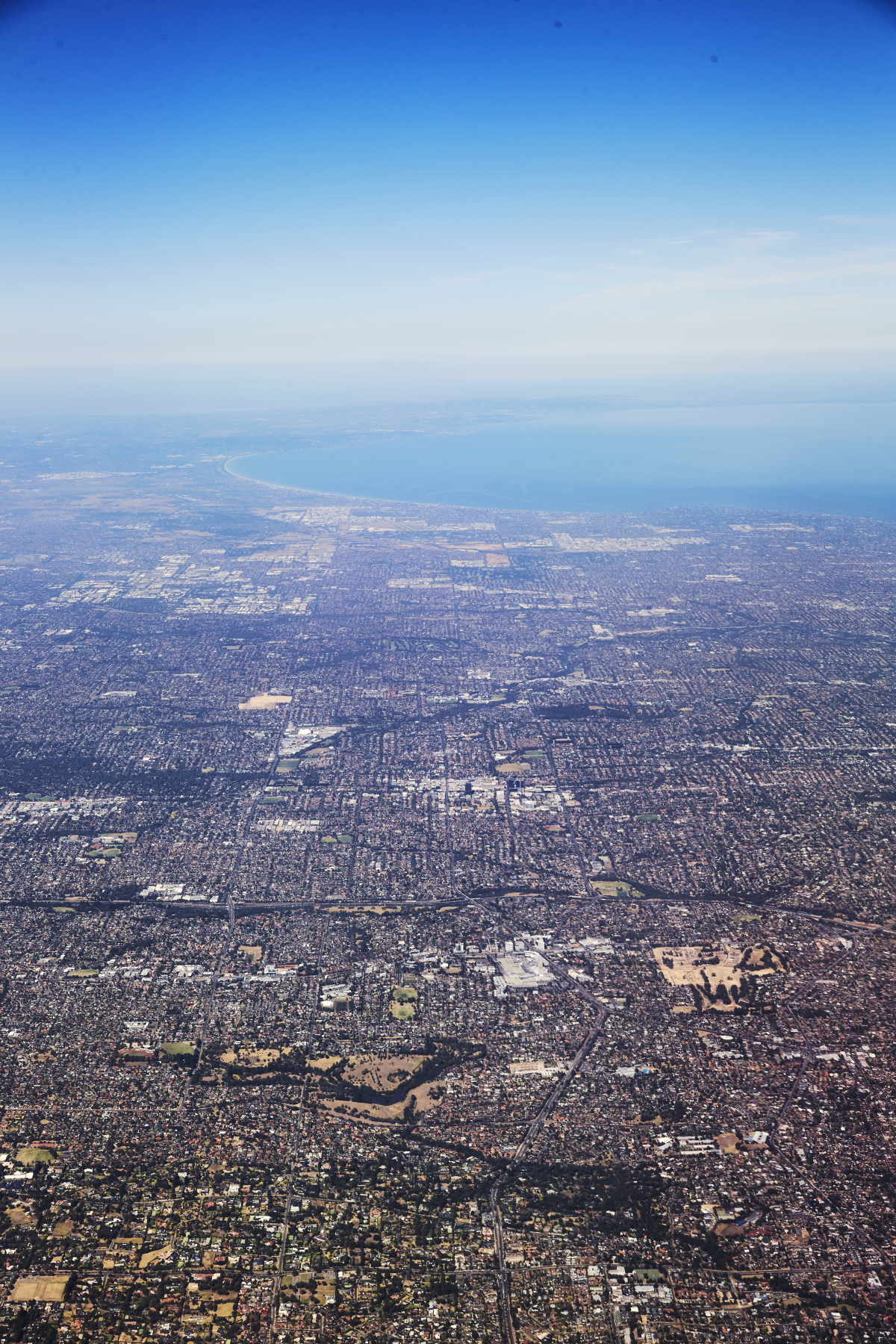 Doncaster, Box Hill, Surrey Hills all suburbs of Melbourne, coming down to Melbourne
 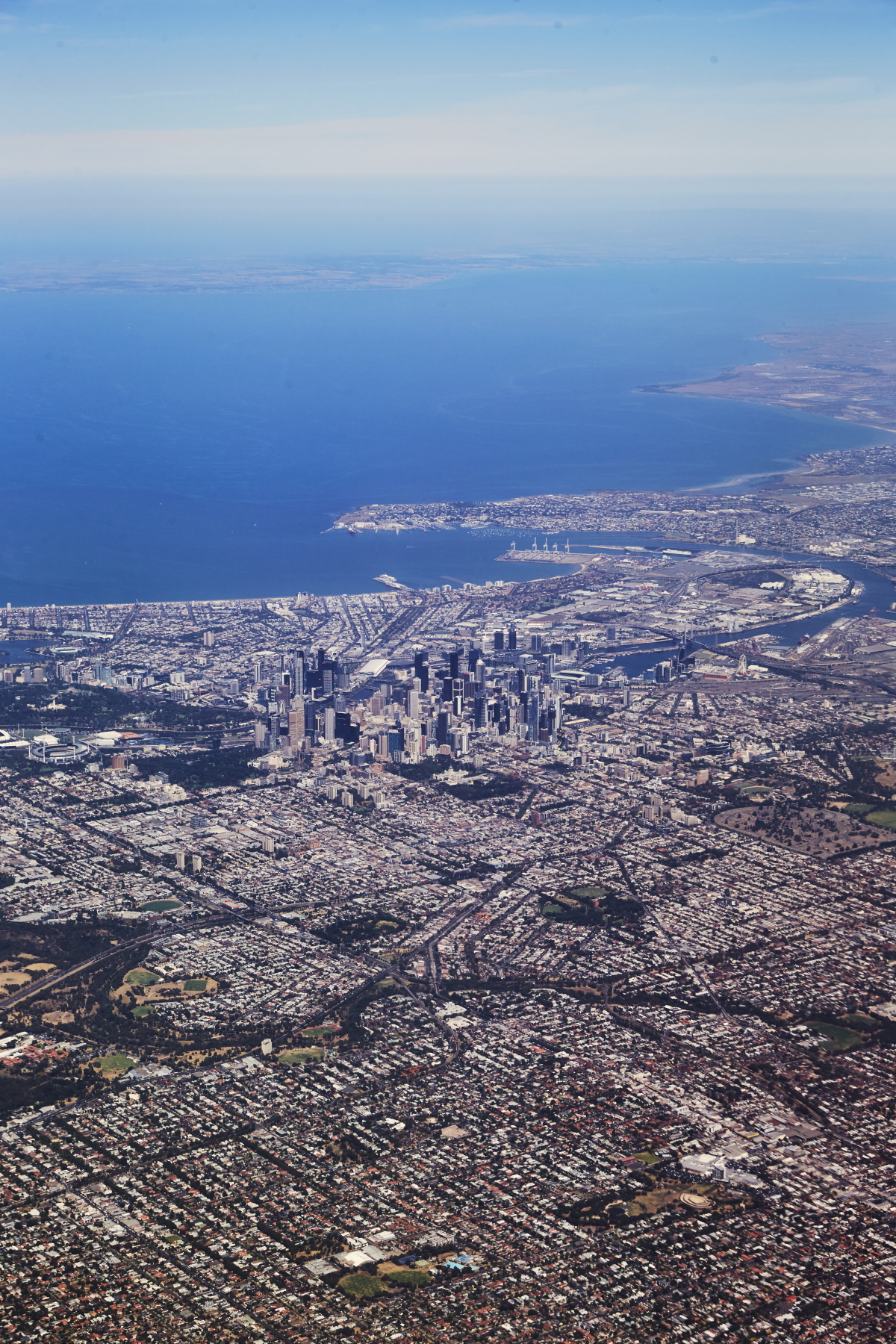 and woauw, best i've ever seen Melbourne, beautiful blue sky ( contrast to Sydney at the moment ) Clear shot, showing the Bay, the CBD and port of Melbourne
 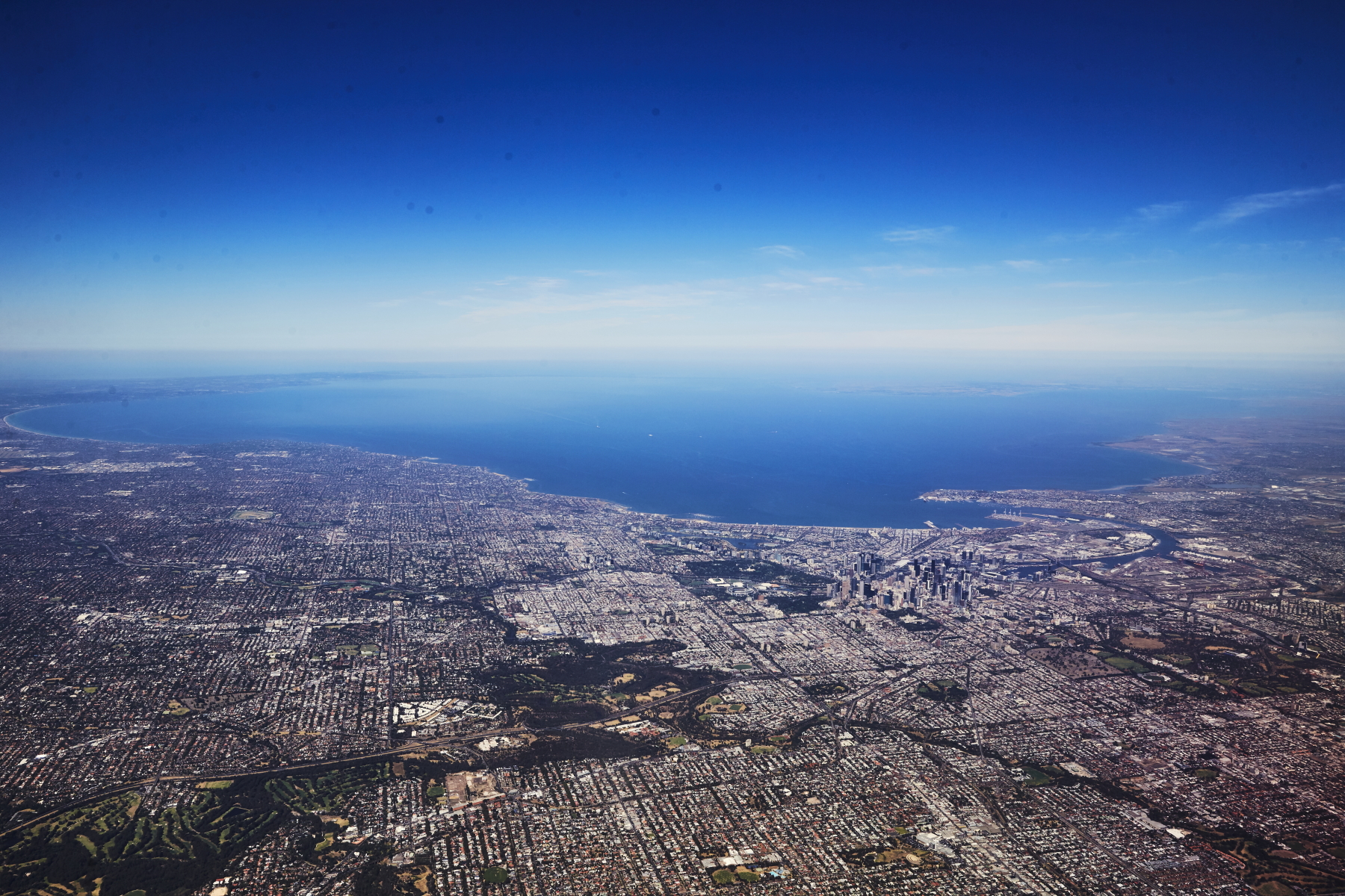 Melbourne and Port Phillip Bay
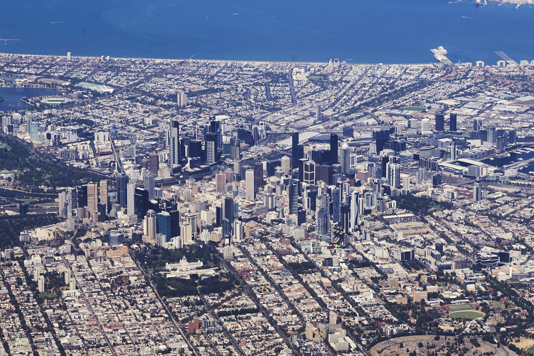 Melbourne CBD and I can see the Royal Exhibition Hall where I will be shooting later on
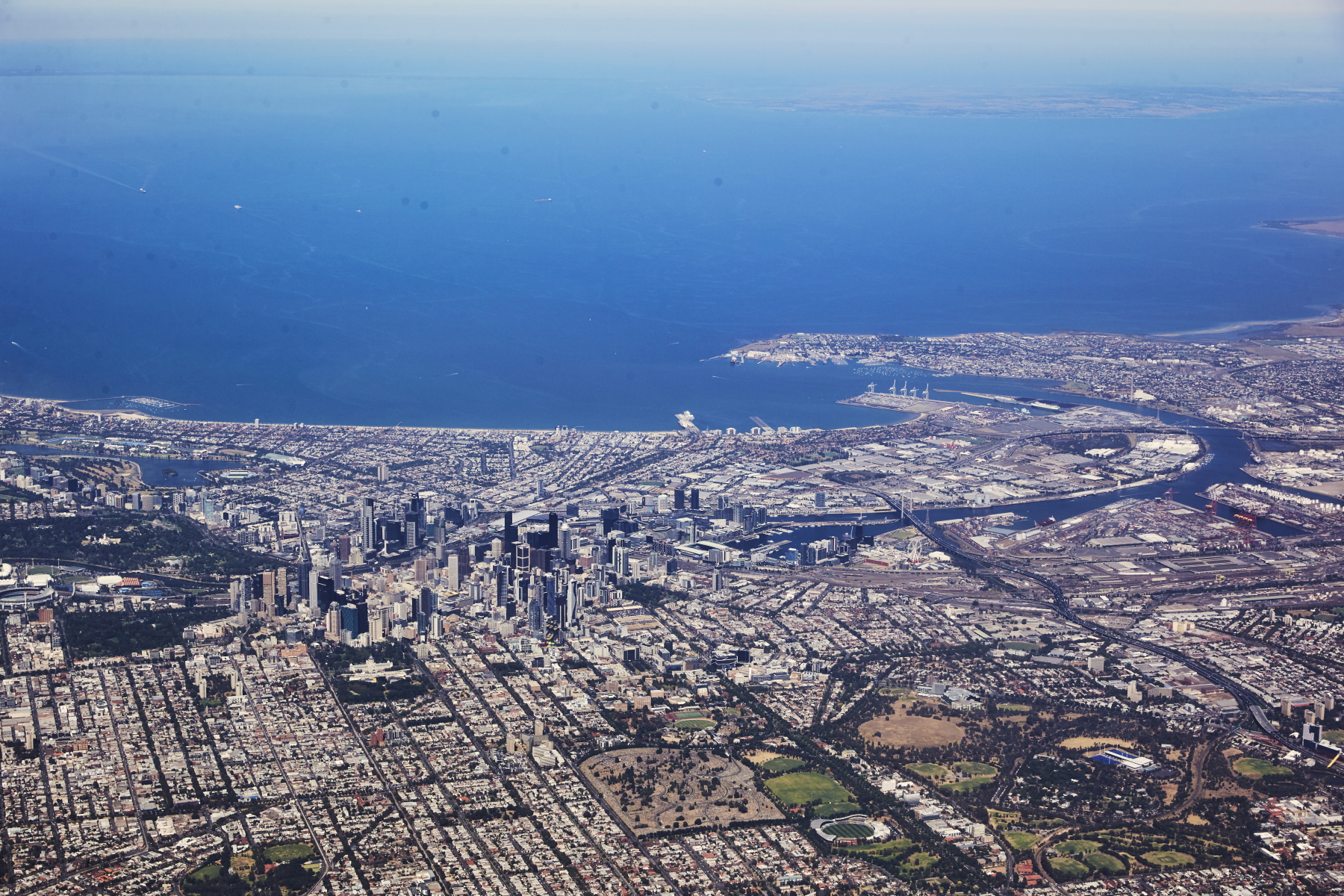 loving the clarity, the amount of times I been to Melbourne and it would either be cloudy, raining or just coming in not as close to CBD
 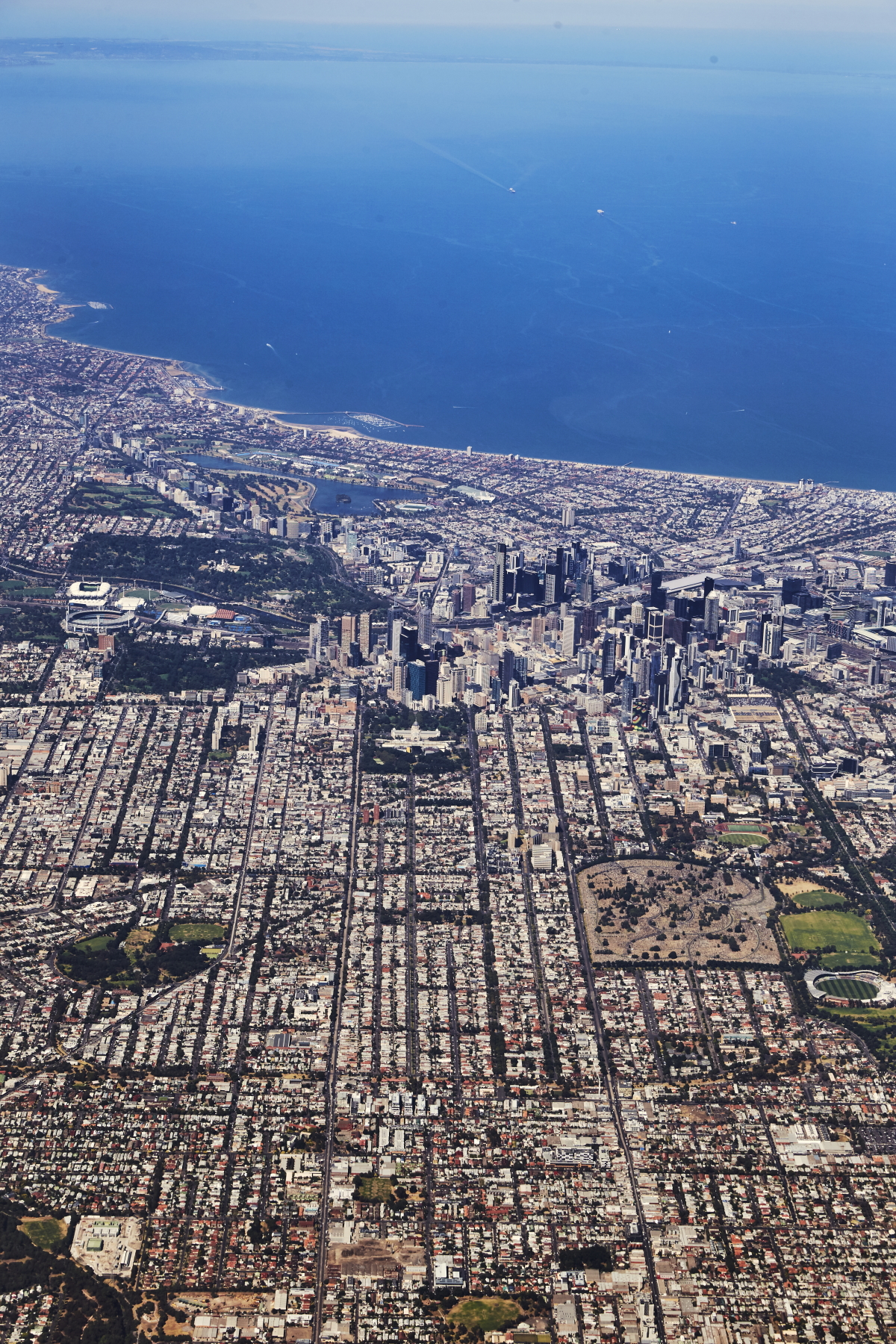 look at those straight lines from the city planners from the 1800's
 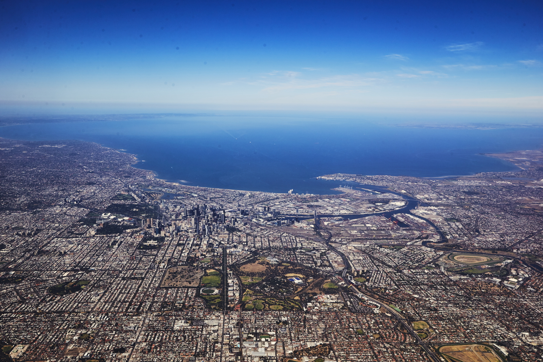 so many photos
 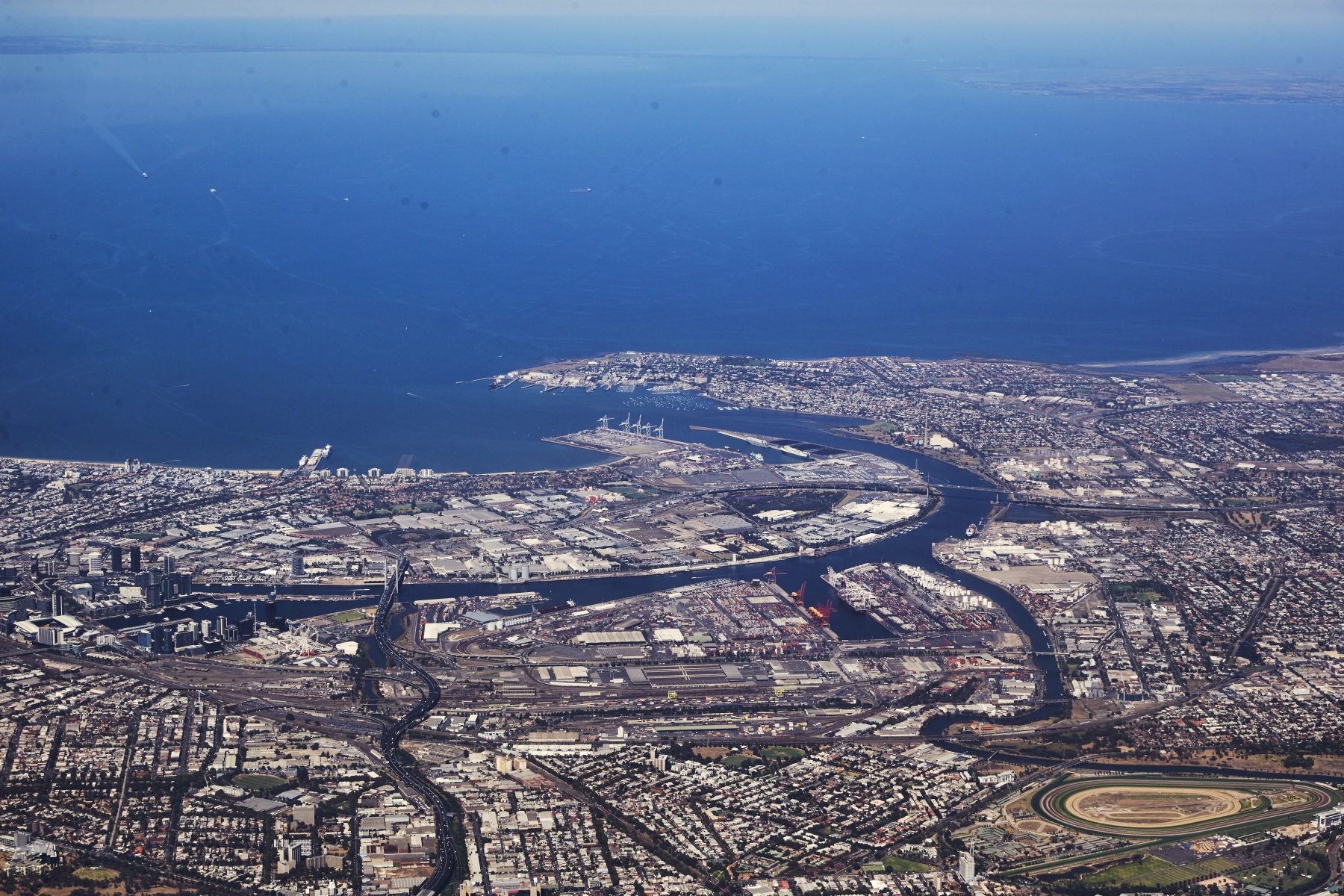 the port, Docklands and Williamstown
 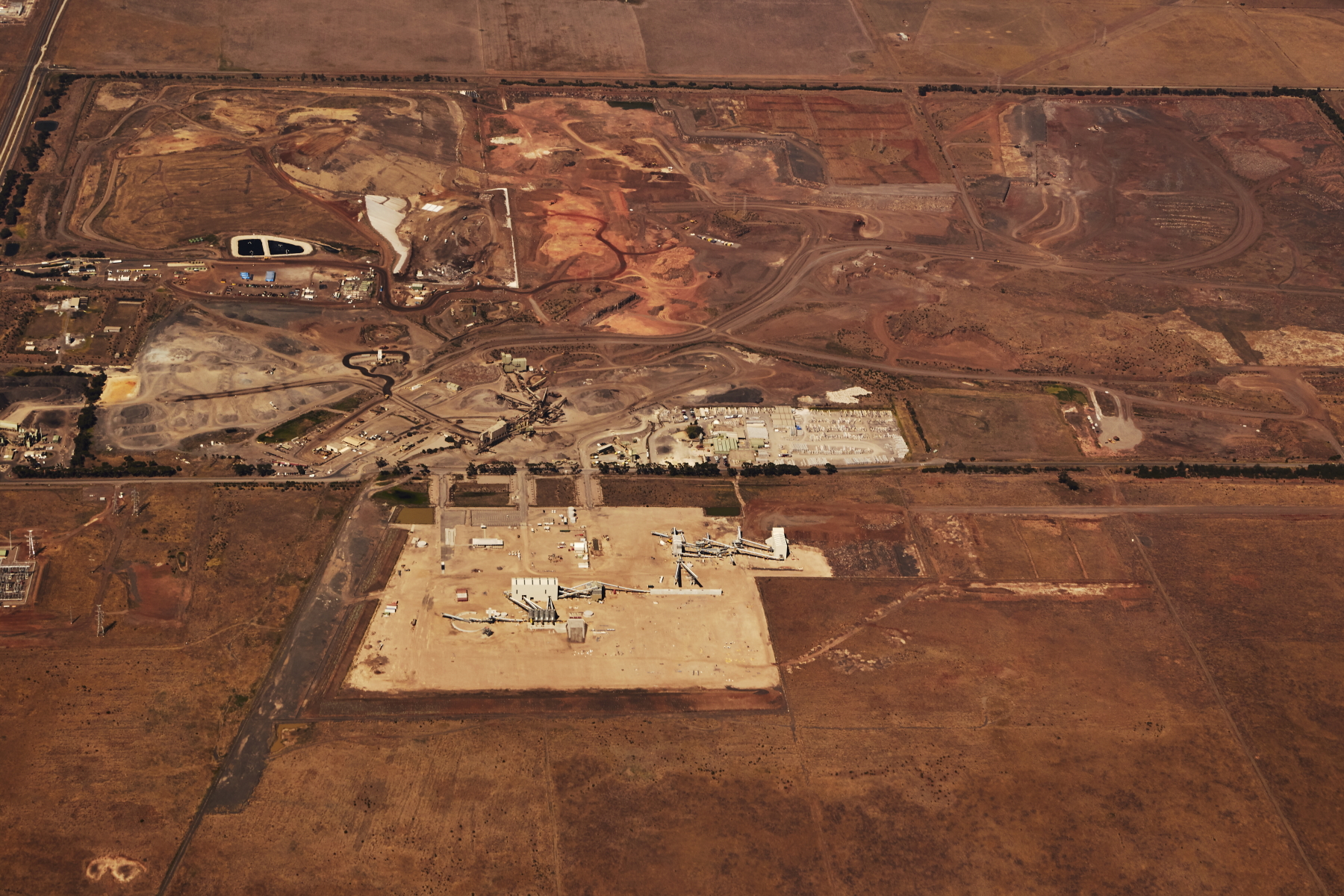 Boral Concrete Deer Park
 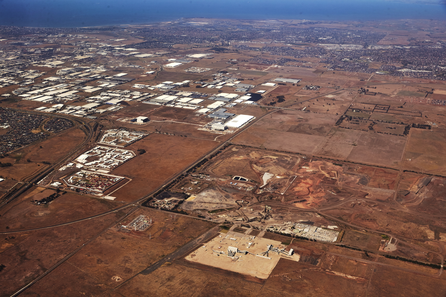 Laverton Industrial area
 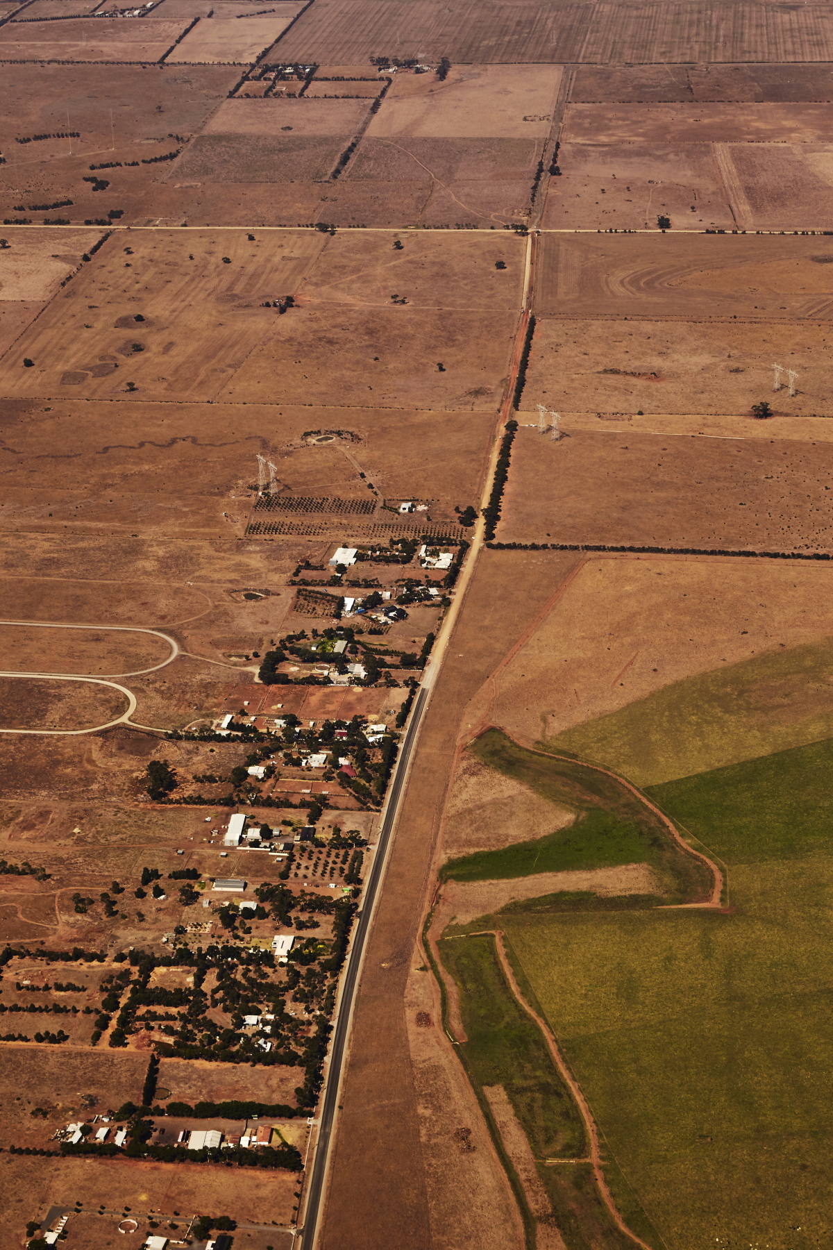 Mt. Cottrell Road, where sealed road becomes dirt road ( there was an article in local newspaper over a year ago that they would be able to seal the remaining part of the road thanks to federal funding, wonder what happened to that )
 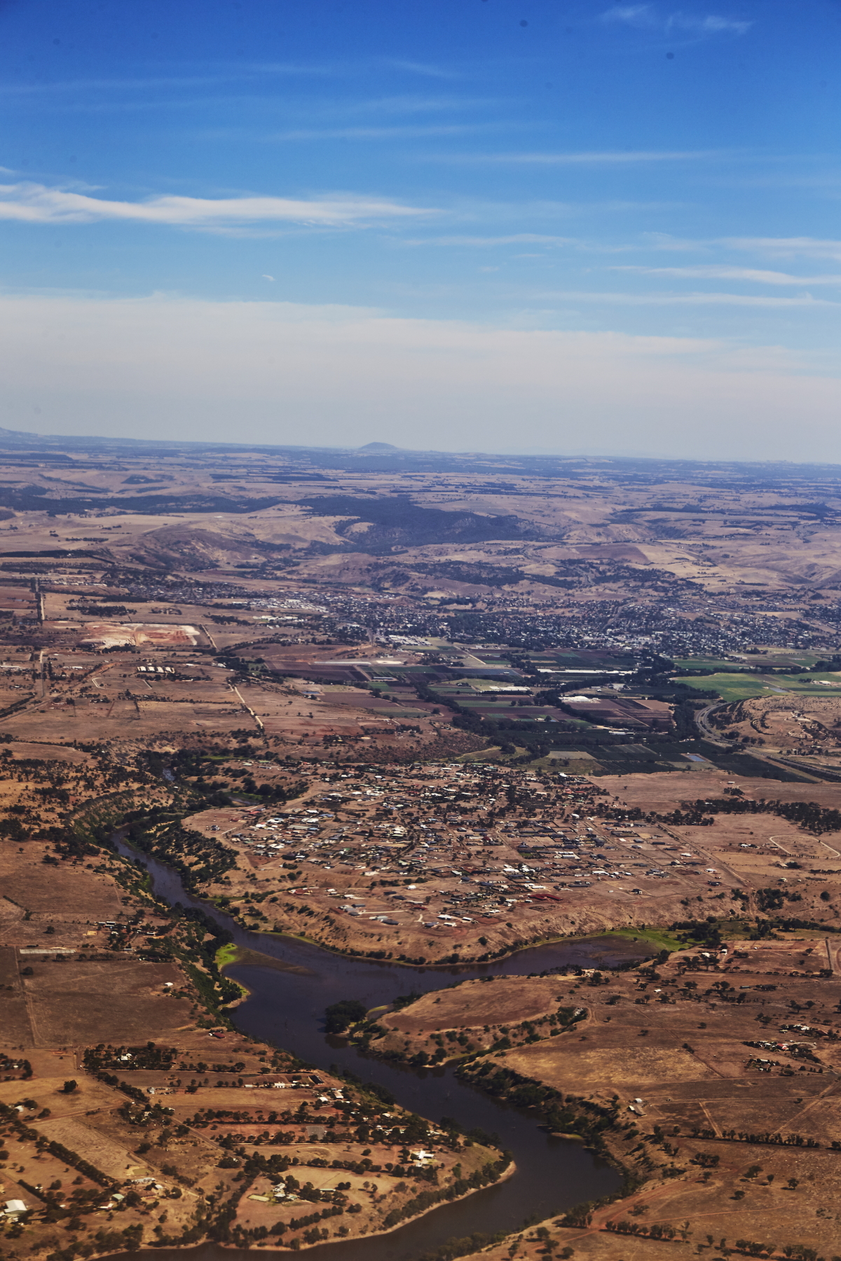 Hopetoun Park and the Werribee river that runs into the Melton Reservoir, which, by the way, half the time is a dry bed
 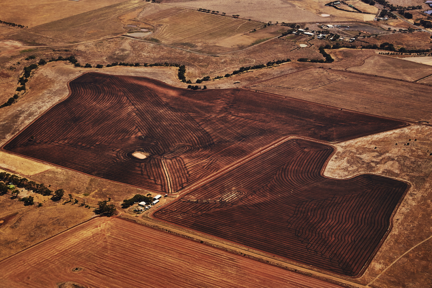 Farmland on Mt Kororoit road, interesting how it is darkened , did they do some sort of burning during harvesting, so close to the airport, the burning would be a concern for take off and landings I figured
 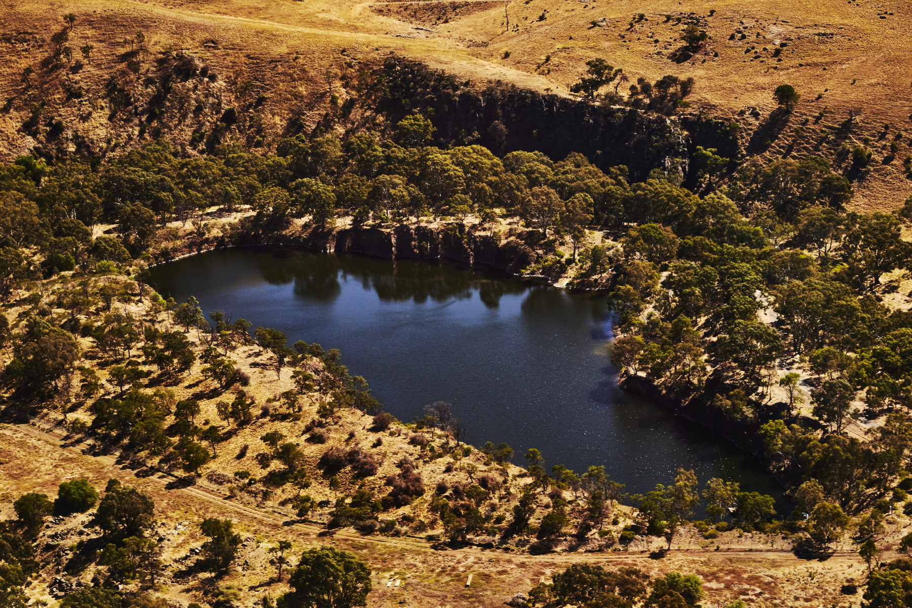 old quarry right near airport
 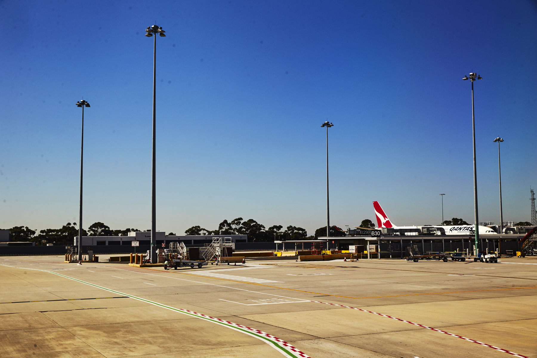 landed, what a difference from Sydney Airport
 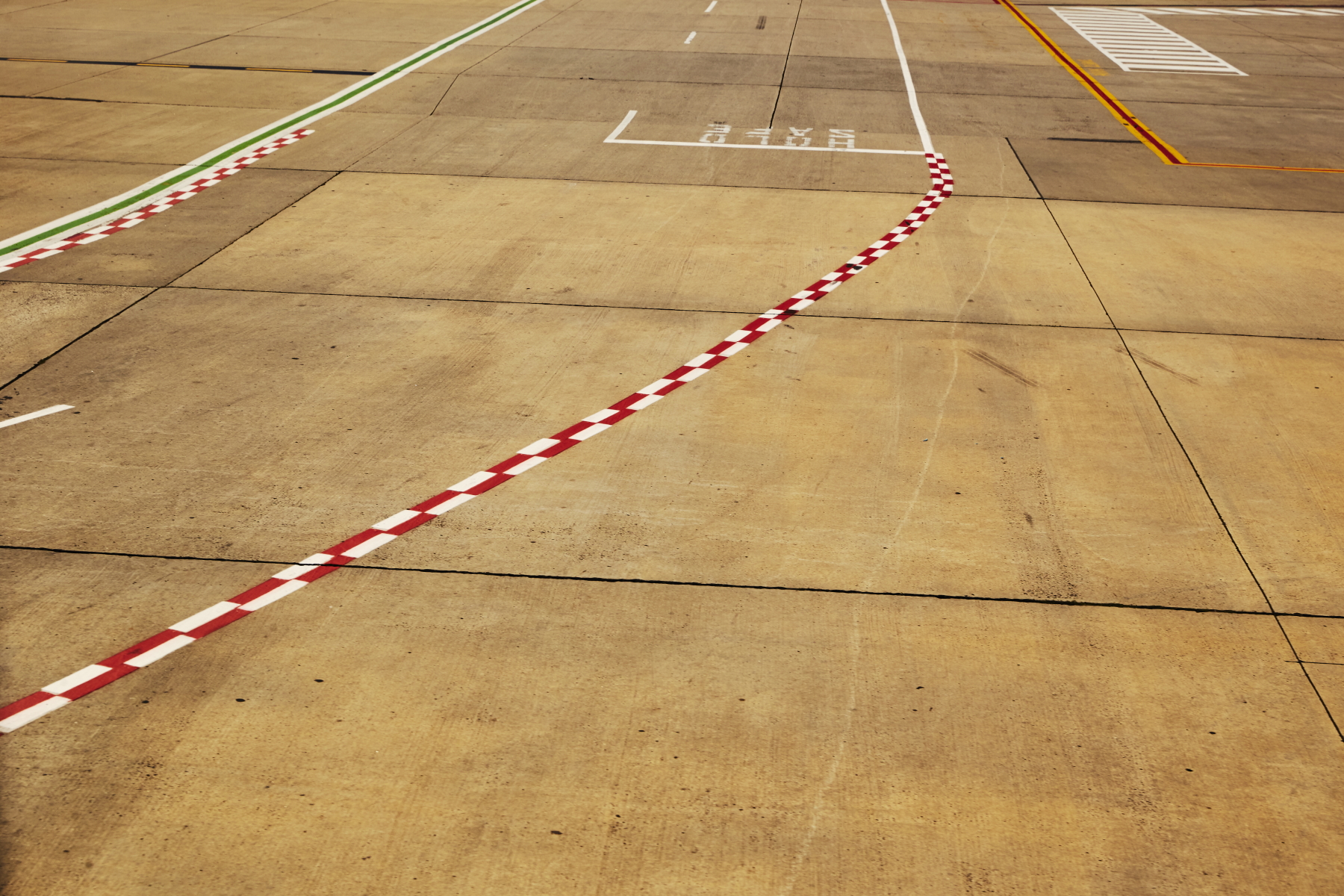 lines
lines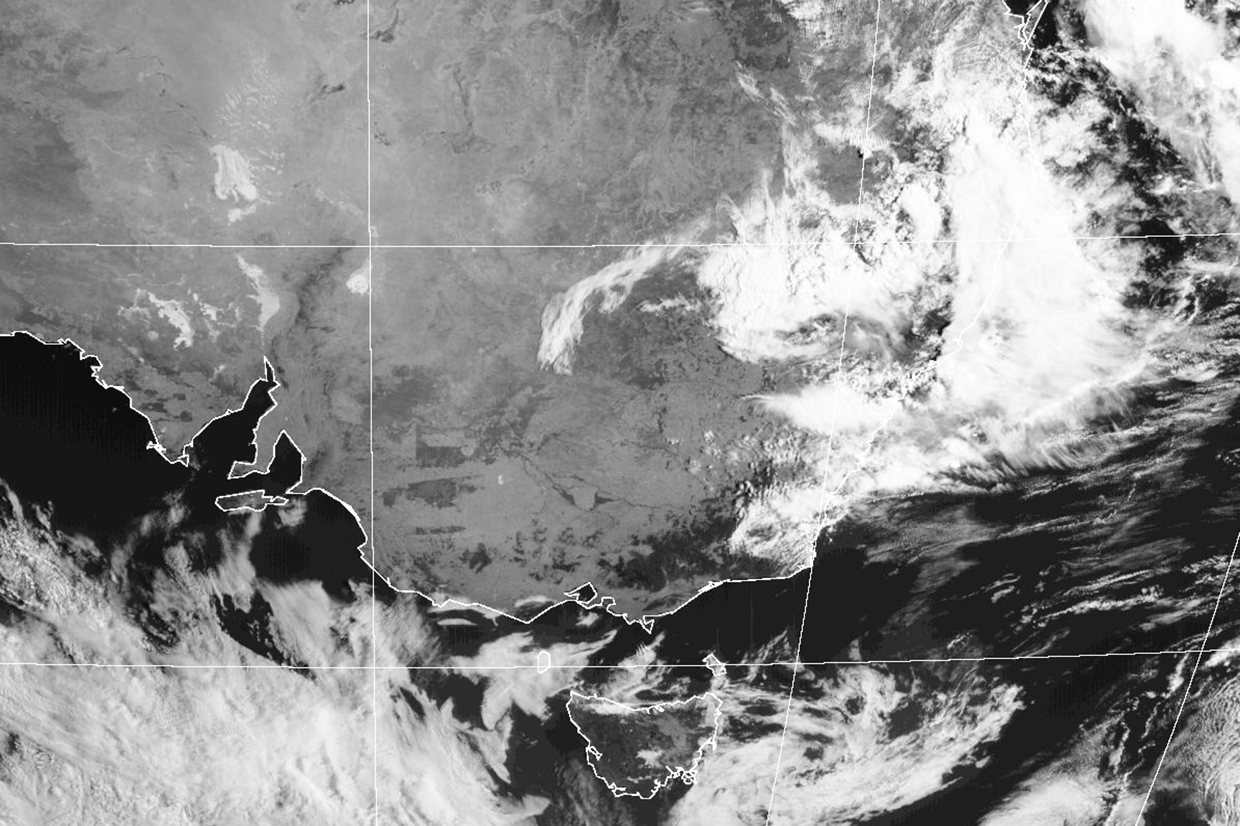 Satelite photo showing the clouds all along the east coast and the clear skies over Victoria
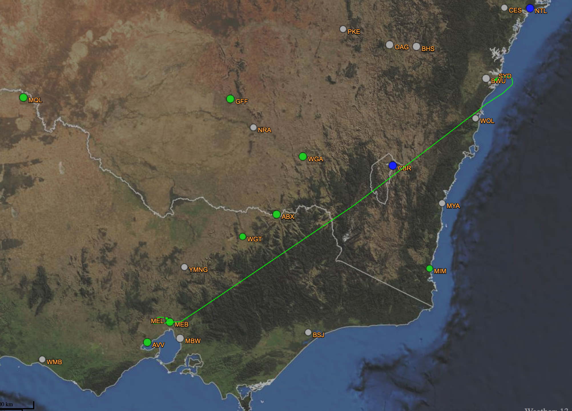 Flight aware track
 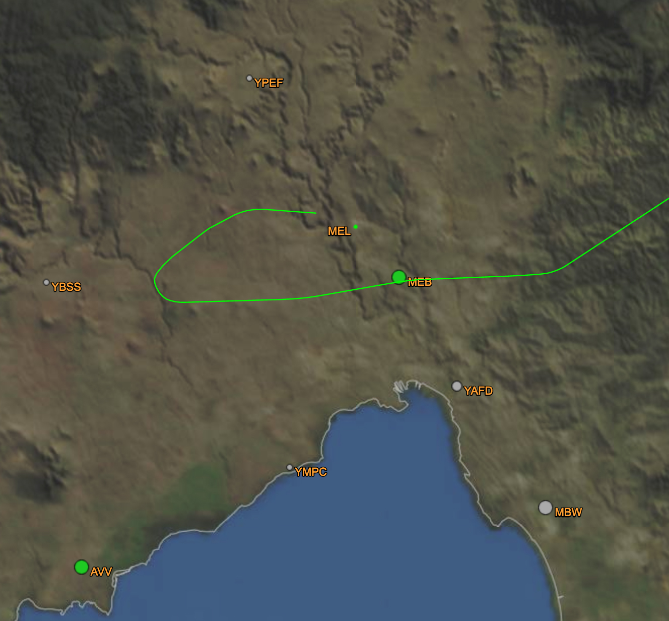 and the curve around the airport